
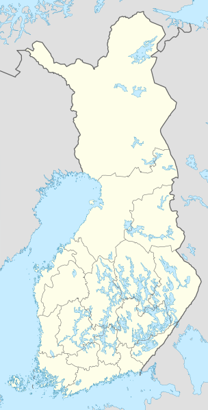
File:Finland location map.svg

Size of this PNG preview of this SVG file: 304 × 599 pixels. Ither resolutions: 122 × 240 pixels | 243 × 480 pixels | 390 × 768 pixels | 520 × 1,024 pixels | 1,039 × 2,048 pixels | 872 × 1,718 pixels.
Oreeginal file (SVG file, nominallie 872 × 1,718 pixels, file size: 1.1 MB)
Ootline
| Descreeption |
Deutsch: Positionskarte von Finnland
Quadratische Plattkarte, N-S-Streckung 235 %. Geographische Begrenzung der Karte:
English: Location map of Finland
Equirectangular projection, N/S stretching 235 %. Geographic limits of the map:
|
| Date | |
| Soorce | own work, using United States National Imagery and Mapping Agency data |
| Author | NordNordWest |

|
This map has been made or improved in the German Kartenwerkstatt (Map Lab). You can propose maps to improve as well.
|
Licensin
I, the copyright holder of this work, hereby publish it under the following licenses:

|
Permission is grantit tae copy, distribute an/or modify this document unner the terms o the GNU Free Documentation License, Version 1.2 or ony later version published bi the Free Software Foundation; wi no Invariant Sections, no Front-Cover Texts, an no Back-Cover Texts. A copy o the license is includit in the section enteetled GNU Free Documentation License. |
This file is licensed unner the Creative Commons Attribution-Share Alike 3.0 Unported license.
- Ye are free:
- tae share – tae copy, distribute an transmit the wirk
- tae remix – tae adapt the wirk
- Unner the follaein condeetions:
- attribution – Ye must attribute the wirk in the manner specified bi the author or licensor (but nae in ony way that suggests that thay endorse ye or yer uise o the wirk).
- share alik – If ye alter, transform, or big upon this wirk, ye mey distribute the resultin wirk anly unner the same or seemilar license tae this ane.
Ye mey select the license o yer choice.
File history
Clap oan ae date/time fer tae see the file aes it kithed at that time.
| Date/Time | Thummnail | Dimensions | Uiser | Comment | |
|---|---|---|---|---|---|
| current | 12:06, 26 Januar 2021 | | 872 × 1,718 (1.1 MB) | Fenn-O-maniC | Updated regional borders as per https://asiointi.maanmittauslaitos.fi/karttapaikka/ |
| 10:50, 9 Mairch 2011 |  | 872 × 1,718 (1.07 MB) | NordNordWest | upd | |
| 20:41, 20 Januar 2010 |  | 872 × 1,536 (1.2 MB) | NordNordWest | update | |
| 18:12, 5 August 2008 |  | 873 × 1,536 (1.07 MB) | NordNordWest | ||
| 11:54, 30 Julie 2008 |  | 873 × 1,536 (1.01 MB) | NordNordWest | optimized | |
| 18:55, 8 Julie 2008 |  | 873 × 1,536 (1.33 MB) | NordNordWest | ||
| 14:05, 7 Julie 2008 |  | 873 × 1,536 (1.28 MB) | NordNordWest | ||
| 19:31, 30 Juin 2008 |  | 873 × 1,536 (1.38 MB) | NordNordWest | ||
| 20:35, 29 Juin 2008 |  | 873 × 1,536 (1.38 MB) | NordNordWest | {{Information |Description= {{de|Positionskarte von Finnland}} Quadratische Plattkarte, N-S-Streckung 210 %. Geographische Begrenzung der Karte: * N: 70.4° N * S: 59.5° N * W: 19° W * O: 32° W {{en|Location map of [[:en:Finland|Finlan |
Eimage airtins
The follaein pages airts tae this image:
Global file uisage
The follaein ither wikis uise this file:
- Uisage on am.wikipedia.org
- Uisage on an.wikipedia.org
- Uisage on arz.wikipedia.org
- Uisage on av.wikipedia.org
- Uisage on bg.wikipedia.org
- Uisage on bs.wikipedia.org
- Uisage on ca.wikipedia.org
- Uisage on ceb.wikipedia.org
View mair global usage o this file.