
File:Fareham UK locator map.svg

Size of this PNG preview of this SVG file: 704 × 599 pixels. Ither resolutions: 282 × 240 pixels | 564 × 480 pixels | 902 × 768 pixels | 1,203 × 1,024 pixels | 2,406 × 2,048 pixels | 1,425 × 1,213 pixels.
Oreeginal file (SVG file, nominallie 1,425 × 1,213 pixels, file size: 1.23 MB)
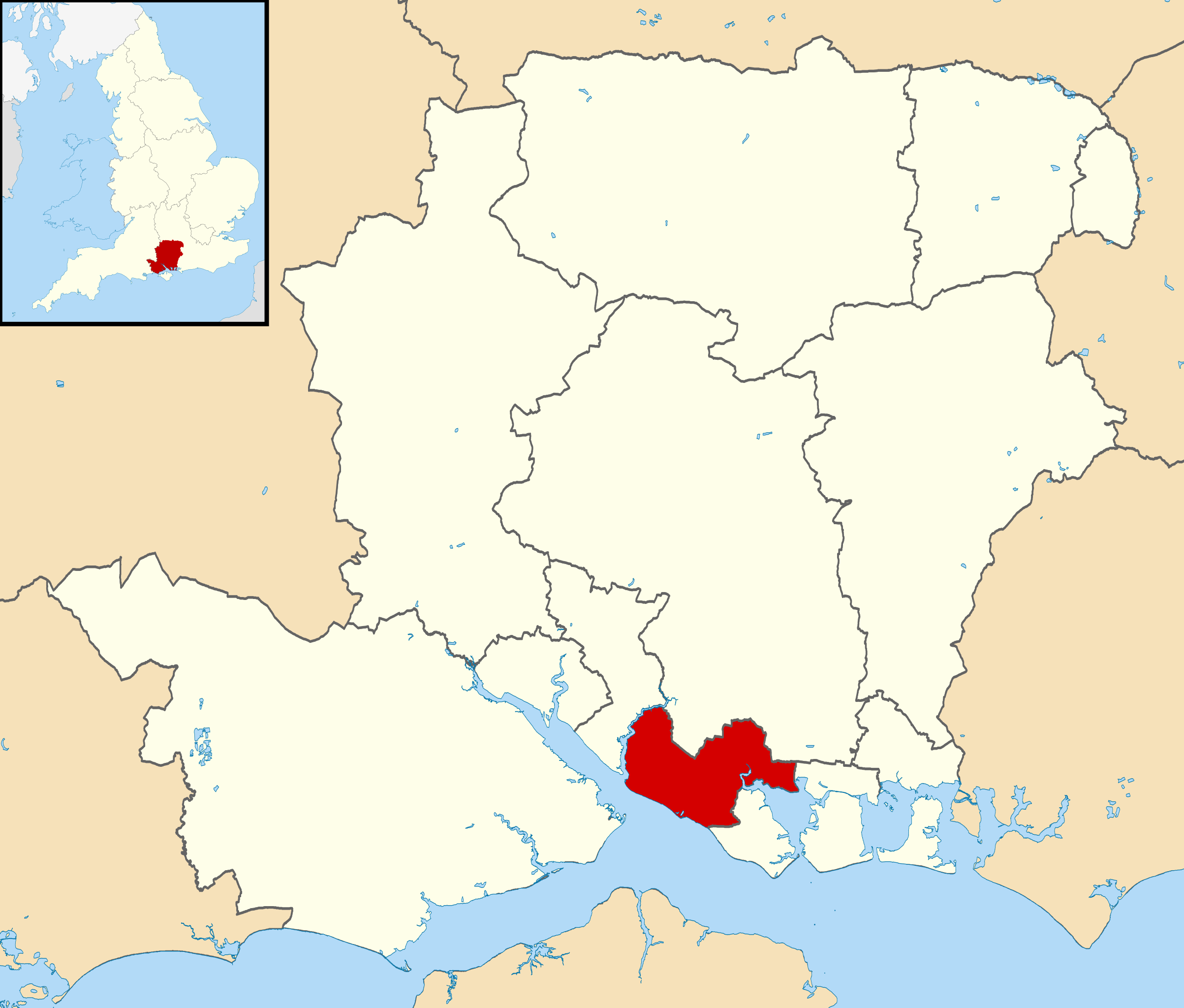
| Descreeption | Equirectangular map projection on WGS 84 datum, with N/S stretched 155% |
| Date | |
| Soorce |
|
| Author | Nilfanion, created using Ordnance Survey data |
| Permission (Reuisin this file) |
This file is licensed unner the Creative Commons Attribution-Share Alike 3.0 Unported license. Attribution: Contains Ordnance Survey data © Crown copyright and database right
|
File history
Clap oan ae date/time fer tae see the file aes it kithed at that time.
| Date/Time | Thummnail | Dimensions | Uiser | Comment | |
|---|---|---|---|---|---|
| current | 19:28, 27 Februar 2011 | | 1,425 × 1,213 (1.23 MB) | Nilfanion | Fix |
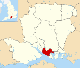
| 19:26, 27 Februar 2011 |  | 1,425 × 1,213 (1.23 MB) | Nilfanion | {{Information |Description=Map of Hampshire, UK with Fareham highlighted. Equirectangular map projection on WGS 84 datum, with N/S stretched 155% |Source=Ordnance Survey [https://www.ordnances |
Eimage airtins
The follaein pages airts tae this image:
Global file uisage
The follaein ither wikis uise this file:
- Uisage on cy.wikipedia.org
- Uisage on en.wikipedia.org
- Uisage on fi.wikipedia.org
- Uisage on ja.wikipedia.org
- Uisage on ko.wikipedia.org
- Uisage on lv.wikipedia.org
- Uisage on no.wikipedia.org
- Uisage on pl.wikipedia.org
- Uisage on pt.wikipedia.org
- Uisage on ru.wikipedia.org
- Uisage on sv.wikipedia.org
- Uisage on ur.wikipedia.org
- Uisage on www.wikidata.org
- Uisage on zh-min-nan.wikipedia.org