
File:East Sussex UK relief location map.jpg

Size o this luikower: 800 × 521 pixels. Ither resolutions: 320 × 208 pixels | 640 × 417 pixels | 1,024 × 667 pixels | 1,280 × 834 pixels | 1,999 × 1,302 pixels.
Oreeginal file (1,999 × 1,302 pixels, file size: 248 KB, MIME type: image/jpeg)
| Descreeption |
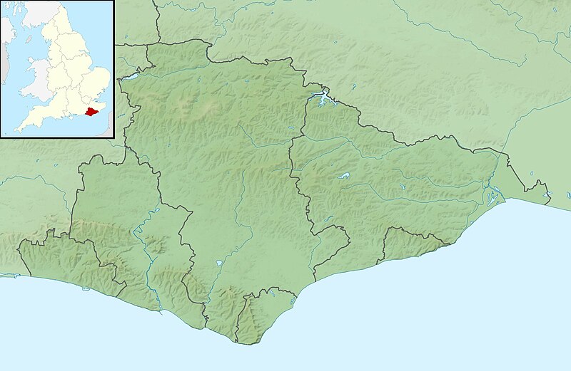
Relief map of East Sussex, UK. Equirectangular map projection on WGS 84 datum, with N/S stretched 155% Geographic limits:
|
| Date | |
| Soorce |
|
| Author | Nilfanion, created using Ordnance Survey data |
| Permission (Reuisin this file) |
This file is licensed unner the Creative Commons Attribution-Share Alike 3.0 Unported license. Attribution: Contains Ordnance Survey data © Crown copyright and database right
|
| Other versions | File:East Sussex UK district map (blank).svg - Blank map |
.svg)
File history
Clap oan ae date/time fer tae see the file aes it kithed at that time.
| Date/Time | Thummnail | Dimensions | Uiser | Comment | |
|---|---|---|---|---|---|
| current | 01:33, 29 November 2011 | | 1,999 × 1,302 (248 KB) | Nilfanion | {{Information |Description=Relief map of East Sussex, UK. Equirectangular map projection on WGS 84 datum, with N/S stretched 155% Geographic limits: *West: 0.28W *East: 0.91E *North: 51.2N *South: 50.7N |Source=[[w:Ordnance Survey|Ordn |
Eimage airtins
The follaein pages airts tae this image:
Global file uisage
The follaein ither wikis uise this file:
- Uisage on ar.wikipedia.org
- Uisage on bg.wikipedia.org
- Uisage on ceb.wikipedia.org
- Uisage on en.wikipedia.org
- Brighton
- Bateman's
- Darwell Reservoir
- Ditchling Beacon
- Brunswick, Hove
- Module:Location map/data/United Kingdom East Sussex/doc
- Powdermill Reservoir
- Newhaven Lifeboat Station
- Eastbourne Lifeboat Station
- Brighton Lifeboat Station
- Regency Town House
- Module:Location map/data/United Kingdom East Sussex
- Module:Location map/data/East Sussex
- Friston Forest
- St Leonards Pier
- Hastings Lifeboat Station
- Uisage on es.wikipedia.org
- Uisage on fr.wikipedia.org
- Uisage on ja.wikipedia.org
- Uisage on kn.wikipedia.org
- Uisage on la.wikipedia.org
- Uisage on mk.wikipedia.org
- Uisage on nl.wikipedia.org
- Uisage on os.wikipedia.org
- Uisage on pl.wikipedia.org
- Uisage on pl.wikibooks.org
View mair global usage o this file.