
File:Conwy UK location map.svg

Size of this PNG preview of this SVG file: 670 × 599 pixels. Ither resolutions: 268 × 240 pixels | 537 × 480 pixels | 858 × 768 pixels | 1,145 × 1,024 pixels | 2,289 × 2,048 pixels | 1,425 × 1,275 pixels.
Oreeginal file (SVG file, nominallie 1,425 × 1,275 pixels, file size: 731 KB)
| Descreeption |
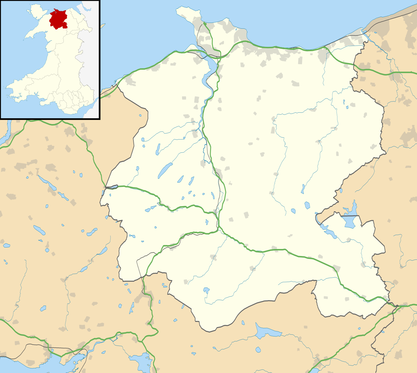
Blank map of Conwy, UK with the following information shown:
Equirectangular map projection on WGS 84 datum, with N/S stretched 165% Geographic limits:
|
| Date | |
| Soorce |
|
| Author | Nilfanion, created using Ordnance Survey data |
| Permission (Reuisin this file) |
This file is licensed unner the Creative Commons Attribution-Share Alike 3.0 Unported license. Attribution: Contains Ordnance Survey data © Crown copyright and database right
|
| Other versions | File:Conwy UK map.svg - Blank map |
File history
Clap oan ae date/time fer tae see the file aes it kithed at that time.
| Date/Time | Thummnail | Dimensions | Uiser | Comment | |
|---|---|---|---|---|---|
| current | 19:32, 26 September 2010 | | 1,425 × 1,275 (731 KB) | Nilfanion | {{Information |Description=Blank map of Conwy, UK with the following information shown: *Administrative borders *Coastline, lakes and rivers *Roads and railways *Urban areas Equirectangular map projection on WGS 84 datum, with N/S stretched 16 |
Eimage airtins
The follaein pages airts tae this image:
Global file uisage
The follaein ither wikis uise this file:
- Uisage on ar.wikipedia.org
- Uisage on azb.wikipedia.org
- Uisage on br.wikipedia.org
- Uisage on ceb.wikipedia.org
- Uisage on cy.wikipedia.org
- Uisage on da.wikipedia.org
- Uisage on en.wikipedia.org
- List of monastic houses in Wales
- Llandudno
- Conwy County Borough
- Betws-y-Coed
- Llanrwst
- Penmaenmawr
- Colwyn Bay
- Capel Curig
- Trefriw
- Canovium
- Abergele
- Llanfairfechan
- Rhos-on-Sea
- Conwy
- Llanddoged
- Old Colwyn
- Dolwyddelan
- Llanbedr-y-Cennin
- Llandudno Junction
- Llysfaen
- Mochdre, Conwy
- Deganwy
- Llangernyw
- Llangystennin
- Llanrhos
- Penrhyn Bay
- Llanrhychwyn
- Craig-y-Don
- Towyn
- Dolgarrog
- Ysbyty Ifan
- Penmachno
- Eglwysbach
- Betws yn Rhos
- Cerrigydrudion
- Caerhun
- Colwyn Bay Community Hospital
- Abergele Hospital
- Conwy Hospital
- Cwm Penmachno
- Tal-y-bont, Conwy
- Rowen, Conwy
- Henryd
- Conwy Valley Railway Museum
View mair global usage o this file.