
File:China Hubei location map.svg

Oreeginal file (SVG file, nominallie 1,162 × 773 pixels, file size: 266 KB)
Ootline
| Descreeption |
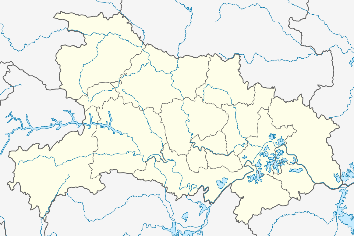
Quadratische Plattkarte, N-S-Streckung 116 %. Geographische Begrenzung der Karte:
Equirectangular projection, N/S stretching 116 %. Geographic limits of the map:
|
|
| Date | ||
| Soorce |
Ain wirk, using
|
|
| Author | NordNordWest | |
| Permission (Reuisin this file) |
This file is licensed under the Creative Commons Attribution-Share Alike 3.0 Germany license.
 This file is licensed unner the Creative Commons Attribution-Share Alike 3.0 Unported license.
|


|
This map has been made or improved in the German Kartenwerkstatt (Map Lab). You can propose maps to improve as well.
|
File history
Clap oan ae date/time fer tae see the file aes it kithed at that time.
| Date/Time | Thummnail | Dimensions | Uiser | Comment | |
|---|---|---|---|---|---|
| current | 12:02, 17 August 2011 | | 1,162 × 773 (266 KB) | NordNordWest | =={{int:filedesc}}== {{Information |Description= {{de|Positionskarte von Hubei, Volksrepublik China}} Quadratische Plattkarte, N-S-Streckung 116 %. Geographische Begrenzung der Karte: * N: 33.5° N * S: 28.8° N * |
Eimage airtins
The follaein pages airts tae this image:
Global file uisage
The follaein ither wikis uise this file:
- Uisage on am.wikipedia.org
- Uisage on ar.wikipedia.org
- Uisage on ba.wikipedia.org
- Uisage on bg.wikipedia.org
- Uisage on bh.wikipedia.org
- Uisage on bn.wikipedia.org
- Uisage on ceb.wikipedia.org
- Uisage on de.wikipedia.org
- Drei-Schluchten-Talsperre
- Wudang Shan
- Minsheng Bank Building
- Wuhan-Sports-Center-Stadion
- Dalongtan-Talsperre
- Wikipedia:Kartenwerkstatt/Positionskarten/Asien
- Danjiangkou-Talsperre
- Dabie Shan
- Fernsehturm Guishan
- Daba Shan
- Jiangpinghe-Talsperre
- Siduhe-Brücke
- Vorlage:Positionskarte China Hubei
- Wu Shan
- Wuhan Greenland Center
- Wuhan Center
- Flughafen Wuhan
- Feinkost-Nassmarkt in Wuhan
- Wasserpark Maya Beach Wuhan
- Uisage on en.wikipedia.org
View mair global usage o this file.