
File:Chile location map.svg

Size of this PNG preview of this SVG file: 267 × 600 pixels. Ither resolutions: 107 × 240 pixels | 213 × 480 pixels | 342 × 768 pixels | 455 × 1,024 pixels | 911 × 2,048 pixels | 1,183 × 2,658 pixels.
Oreeginal file (SVG file, nominallie 1,183 × 2,658 pixels, file size: 925 KB)
Ootline
| Descreeption |
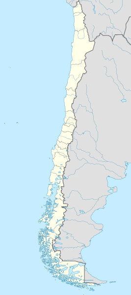
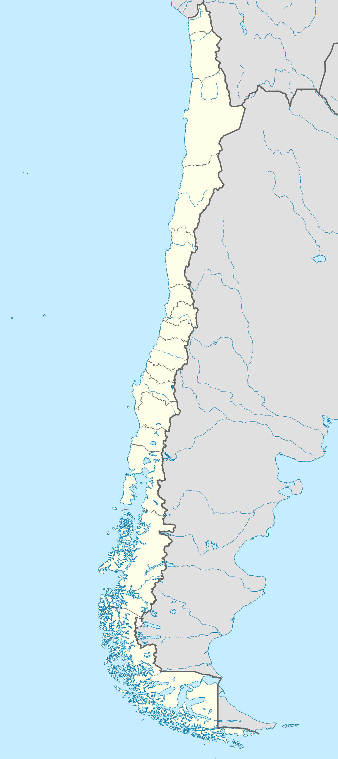
Deutsch: Positionskarte von Chile
Quadratische Plattkarte, N-S-Streckung 115 %. Geographische Begrenzung der Karte:
English: Location map of Chile
Equirectangular projection, N/S stretching 115 %. Geographic limits of the map:
Español: Mapa de localización de Chile
Proyección Equirectangular, N/S con una extensión de 115 %. Límites geográficos del mapa:
|
| Date | |
| Soorce |
own work, using
|
| Author | NordNordWest |
| Other versions |
Derivative works of this file:
|
.svg)
.svg)
.svg)
.svg)

|
This map has been made or improved in the German Kartenwerkstatt (Map Lab). You can propose maps to improve as well.
|
Licensin
I, the copyright holder of this work, hereby publish it under the following licenses:

|
Permission is grantit tae copy, distribute an/or modify this document unner the terms o the GNU Free Documentation License, Version 1.2 or ony later version published bi the Free Software Foundation; wi no Invariant Sections, no Front-Cover Texts, an no Back-Cover Texts. A copy o the license is includit in the section enteetled GNU Free Documentation License. |
This file is licensed unner the Creative Commons Attribution-Share Alike 3.0 Unported license.
- Ye are free:
- tae share – tae copy, distribute an transmit the wirk
- tae remix – tae adapt the wirk
- Unner the follaein condeetions:
- attribution – Ye must attribute the wirk in the manner specified bi the author or licensor (but nae in ony way that suggests that thay endorse ye or yer uise o the wirk).
- share alik – If ye alter, transform, or big upon this wirk, ye mey distribute the resultin wirk anly unner the same or seemilar license tae this ane.
Ye mey select the license o yer choice.
File history
Clap oan ae date/time fer tae see the file aes it kithed at that time.
| Date/Time | Thummnail | Dimensions | Uiser | Comment | |
|---|---|---|---|---|---|
| current | 22:46, 15 August 2023 | | 1,183 × 2,658 (925 KB) | Janitoalevic | Fixed Aysén & Magallanes and Chilean Antarctica Regions border. |
| 22:54, 5 September 2018 |  | 1,183 × 2,658 (925 KB) | Janitoalevic | Ñuble Region | |
| 20:30, 3 December 2017 |  | 1,183 × 2,658 (921 KB) | Janitoalevic | color error. | |
| 20:28, 3 December 2017 |  | 1,183 × 2,658 (921 KB) | Janitoalevic | Fixed Argentina's Lake Nahuel Huapi | |
| 20:25, 3 December 2017 |  | 1,183 × 2,658 (920 KB) | Janitoalevic | . | |
| 21:50, 2 December 2017 |  | 1,183 × 2,658 (920 KB) | Janitoalevic | Fixed Argentina-Bolivia border | |
| 21:46, 2 December 2017 |  | 1,183 × 2,658 (920 KB) | Janitoalevic | . | |
| 00:42, 30 August 2017 |  | 1,183 × 2,658 (919 KB) | Janitoalevic | Fixed size | |
| 23:30, 20 August 2017 |  | 1,262 × 2,835 (910 KB) | Janitoalevic | Removed Ñuble Region (Will be fully implemented in 2018) | |
| 01:00, 20 August 2017 |  | 1,262 × 2,835 (914 KB) | Janitoalevic | Added Ñuble Region & more precise borders |
Eimage airtins
The follaein pages airts tae this image:
- Antofagasta
- Arica
- Arica Province
- Arturo Merino Benítez Internaitional Airport
- Camarones, Chile
- Chillán
- Chimbarongo
- Chépica
- Codegua
- Colchagua (histerical province)
- Coltauco
- Concepción, Chile
- Constitución, Chile
- Cordillera
- Coínco
- Doñihue
- El Bosque, Chile
- Estación Central
- Graneros
- Iquique
- La Estrella, Chile
- La Florida, Chile
- La Ligua
- Las Cabras
- Litueche
- Machalí
- Malloa
- Marchigüe
- María Elena
- Monte Águila
- Mostazal
- Nancagua
- Navidad, Chile
- Nogales, Chile
- Olivar
- Palmilla
- Paredones
- Pedro Aguirre Cerda, Chile
- Peralillo
- Peñalolén
- Pichidegua
- Pirque
- Placilla
- Puente Alto
- Puerto Williams
- Pumanque
- Quinta Normal
- Quinta de Tilcoco
- Rancagua
- Recoleta, Chile
- Rengo
- Requínoa
- San Fernando, Chile
- San Pedro de la Paz
- San Vicente de Tagua Tagua
- Santa Cruz, Chile
- Santiago
- Santiago (commune)
- Santiago Province, Chile
- Talca
- Talcahuano
- Valdivia
- Valparaíso
- Ñuñoa
- Template:Location map Chile
- Module:Location map/data/Chile
- Module:Location map/data/Chile/doc
Global file uisage
The follaein ither wikis uise this file:
- Uisage on af.wikipedia.org
- Antofagasta
- Pichilemu
- FIFA Sokker-Wêreldbekertoernooi in 1962
- Chillán
- Los Ángeles (Chili)
- Talcahuano
- Quinta Normal
- Temuco
- Puerto Montt
- Punta Arenas
- Coyhaique
- Valdivia
- Castro (Chili)
- San Pedro de la Paz
- Villa Alemana
- Sjabloon:Liggingkaart Chili
- Penco
- Hualpén
- Chiguayante
- Hualqui
- Coronel (Chili)
- Lota
- Tomé
- La Serena
- Arica
- Monte Águila (Chili)
- Arturo Merino Benítez Internasionale Lughawe
- Uisage on als.wikipedia.org
- Uisage on an.wikipedia.org
View mair global usage o this file.