
File:Carte du Québec au sein du Canada.svg

Size of this PNG preview of this SVG file: 707 × 600 pixels. Ither resolutions: 283 × 240 pixels | 566 × 480 pixels | 905 × 768 pixels | 1,207 × 1,024 pixels | 2,414 × 2,048 pixels | 1,083 × 919 pixels.
Oreeginal file (SVG file, nominallie 1,083 × 919 pixels, file size: 80 KB)
Ootline
| Descreeption | |
| Date | (UTC) |
| Soorce |
Ain wirk. Source :
|
| Author | Sémhur (talk) |
| Other versions |
Derivative works of this file: |
| SVG genesis | |
| Attribution (required by the license) | © Sémhur / Wikimedia Commons / |
.svg)
| Camera location | | View this and other nearby images on: OpenStreetMap |
|---|
Licensin
I, the copyright holder of this work, hereby publish it under the following licenses:
| Copyleft: This wairk o airt is free; ye can redistreebute it n/or modifie it accordin til the terms o the Free Art License. Ye'll fynd ae specimen o this license oan the Copyleft Attitude steid aes weel aes oan ither steids. |
This file is licensed under the Creative Commons Attribution-Share Alike 4.0 International, 3.0 Unported, 2.5 Generic, 2.0 Generic and 1.0 Generic license.
- Ye are free:
- tae share – tae copy, distribute an transmit the wirk
- tae remix – tae adapt the wirk
- Unner the follaein condeetions:
- attribution – Ye must attribute the wirk in the manner specified bi the author or licensor (but nae in ony way that suggests that thay endorse ye or yer uise o the wirk).
- share alik – If ye alter, transform, or big upon this wirk, ye mey distribute the resultin wirk anly unner the same or seemilar license tae this ane.
Ye mey select the license o yer choice.
File history
Clap oan ae date/time fer tae see the file aes it kithed at that time.
| Date/Time | Thummnail | Dimensions | Uiser | Comment | |
|---|---|---|---|---|---|
| current | 17:09, 7 December 2014 | | 1,083 × 919 (80 KB) | Sémhur | Valid SVG |
| 14:56, 8 December 2011 |  | 1,083 × 919 (80 KB) | Riba | Minor corrections of colors. | |
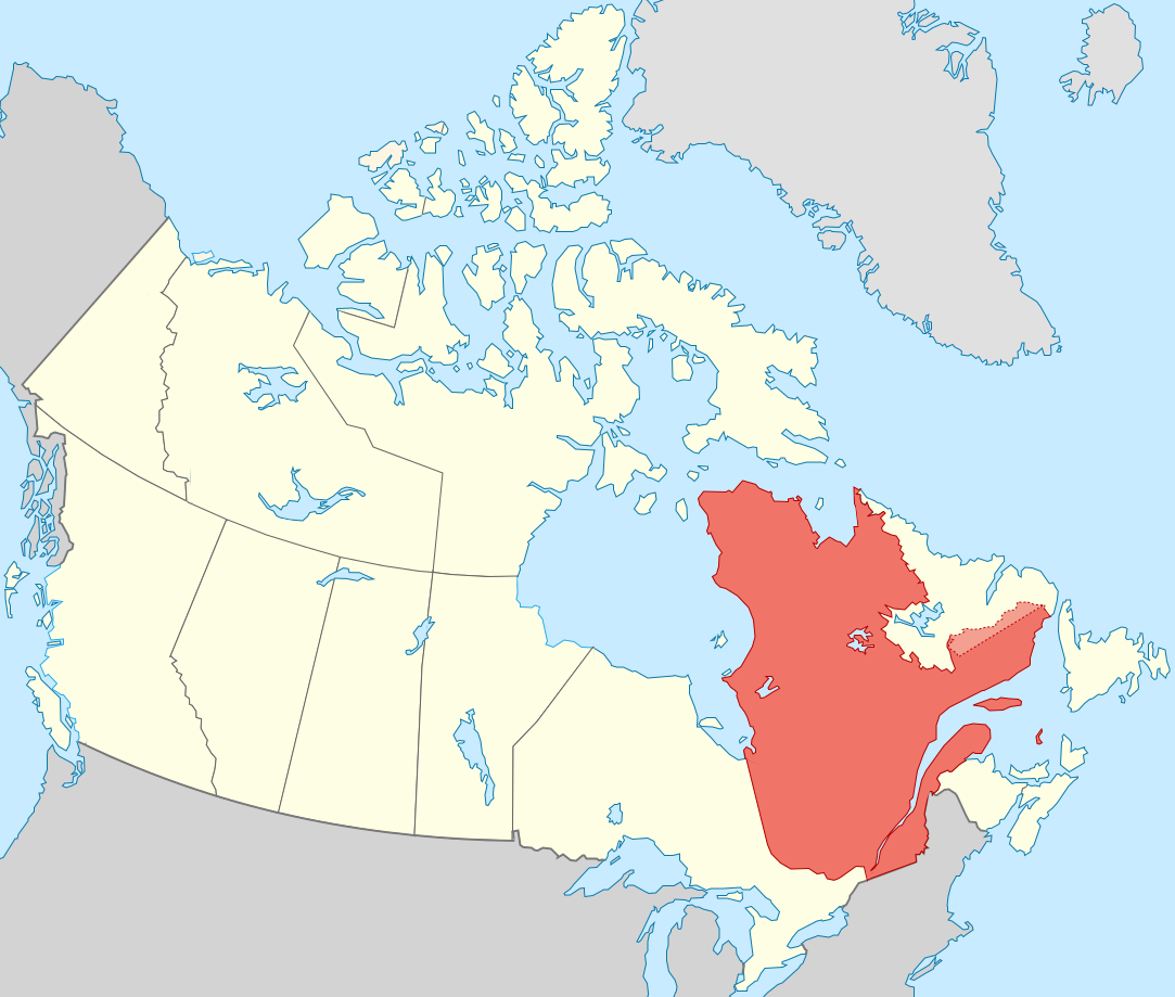
| 19:51, 27 September 2011 |  | 1,083 × 919 (75 KB) | Sémhur | == {{int:filedesc}} == {{Information |Description={{Multilingual description |en= Blank map showing en:Québec in Canada, in red, with the disputed area between Quebec and Labrador, in pink. |fr= Carte montrant le fr:Québec au sein du Canada, |
Eimage airtins
The follaein pages airts tae this image:
Global file uisage
The follaein ither wikis uise this file:
- Uisage on af.wikipedia.org
- Uisage on ang.wikipedia.org
- Uisage on arc.wikipedia.org
- Uisage on bat-smg.wikipedia.org
- Uisage on br.wikipedia.org
- Uisage on co.wikipedia.org
- Uisage on cr.wikipedia.org
- Uisage on el.wikipedia.org
- Uisage on el.wikivoyage.org
- Uisage on eo.wikipedia.org
- Uisage on eo.wikinews.org
- Uisage on es.wikipedia.org
- Uisage on et.wikipedia.org
- Uisage on fiu-vro.wikipedia.org
- Uisage on fo.wikipedia.org
- Uisage on fr.wikipedia.org
- Uisage on gag.wikipedia.org
- Uisage on gl.wikipedia.org
- Uisage on gv.wikipedia.org
- Uisage on hak.wikipedia.org
- Uisage on ha.wikipedia.org
- Uisage on hy.wikipedia.org
- Uisage on incubator.wikimedia.org
- Uisage on it.wikivoyage.org
- Uisage on ja.wikipedia.org
- Uisage on ka.wikipedia.org
- Uisage on kw.wikipedia.org
- Uisage on lb.wikipedia.org
- Uisage on lv.wikipedia.org
- Uisage on mi.wikipedia.org
- Uisage on nds-nl.wikipedia.org
- Uisage on no.wikipedia.org
- Uisage on nrm.wikipedia.org
- Uisage on pap.wikipedia.org
- Uisage on pa.wikipedia.org
- Uisage on pcd.wikipedia.org
- Uisage on pl.wikipedia.org
- Uisage on pt.wikipedia.org
- Uisage on qu.wikipedia.org
- Uisage on ro.wikipedia.org
- Uisage on ru.wiktionary.org
- Uisage on sl.wikipedia.org
- Uisage on sr.wikipedia.org
View mair global usage o this file.