
File:Canada Southern Ontario location map 2.png

Size o this luikower: 800 × 577 pixels. Ither resolutions: 320 × 231 pixels | 640 × 462 pixels | 994 × 717 pixels.
Oreeginal file (994 × 717 pixels, file size: 296 KB, MIME type: image/png)
Ootline
| Descreeption |
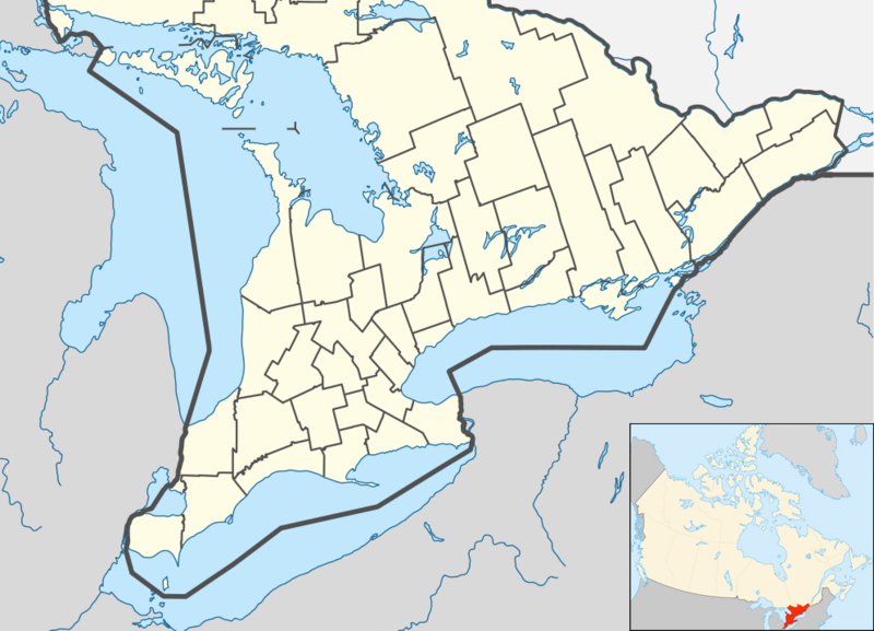
English: Location map of Southern Ontario, Canada.
Equirectangular projection, N/S stretching 155%. Geographic limits of the map:
Русский: Южная Онтарио
Українська: Південне Онтаріо |
| Date | |
| Soorce | File:Canada Ontario location map 2.svg |
| Author | User:NordNordWest |
| Other versions |
|


Licensin
I, the copyright holder of this work, hereby publish it under the following license:
This file is licensed unner the Creative Commons Attribution-Share Alike 3.0 Unported license.
- Ye are free:
- tae share – tae copy, distribute an transmit the wirk
- tae remix – tae adapt the wirk
- Unner the follaein condeetions:
- attribution – Ye must attribute the wirk in the manner specified bi the author or licensor (but nae in ony way that suggests that thay endorse ye or yer uise o the wirk).
- share alik – If ye alter, transform, or big upon this wirk, ye mey distribute the resultin wirk anly unner the same or seemilar license tae this ane.
File history
Clap oan ae date/time fer tae see the file aes it kithed at that time.
| Date/Time | Thummnail | Dimensions | Uiser | Comment | |
|---|---|---|---|---|---|
| current | 05:47, 20 Julie 2012 | | 994 × 717 (296 KB) | 117Avenue | slight fix |
| 05:43, 20 Julie 2012 |  | 994 × 717 (296 KB) | 117Avenue | {{Information |Description ={{en|1=Location map of Southern Ontario, Canada. Equirectangular projection, N/S stretching 155%. Geographic limits of the map: * N: 46.4° N * S: 41.4° N * W: 84.7° W * E: 74.0°... |
Eimage airtins
The'r nae pages airts tae this eimage.
Global file uisage
The follaein ither wikis uise this file:
- Uisage on ar.wikipedia.org
- Uisage on azb.wikipedia.org
- Uisage on ban.wikipedia.org
- Uisage on bn.wikipedia.org
- Uisage on bs.wikipedia.org
- Uisage on ceb.wikipedia.org
- Uisage on ckb.wikipedia.org
- Uisage on cs.wikipedia.org
- Uisage on en.wikipedia.org
- Bay of Quinte
- Hamilton, Ontario
- Windsor, Ontario
- Waterloo, Ontario
- Sarnia
- Perth, Ontario
- Kitchener, Ontario
- Kingston, Ontario
- Brampton
- Caledon, Ontario
- Prescott, Ontario
- Leamington, Ontario
- Cornwall, Ontario
- Guelph
- Aurora, Ontario
- Barrie
- Belleville, Ontario
- Brantford
- Brockville
- Burlington, Ontario
- Cambridge, Ontario
- Lindsay, Ontario
- Markham, Ontario
- Newmarket, Ontario
- Niagara Falls, Ontario
- Oakville, Ontario
View mair global usage o this file.