
File:Burkina Faso relief location map.jpg
Size o this luikower: 800 × 589 pixels. Ither resolutions: 320 × 236 pixels | 640 × 471 pixels | 900 × 663 pixels.
Oreeginal file (900 × 663 pixels, file size: 527 KB, MIME type: image/jpeg)
Ootline
| Descreeption |
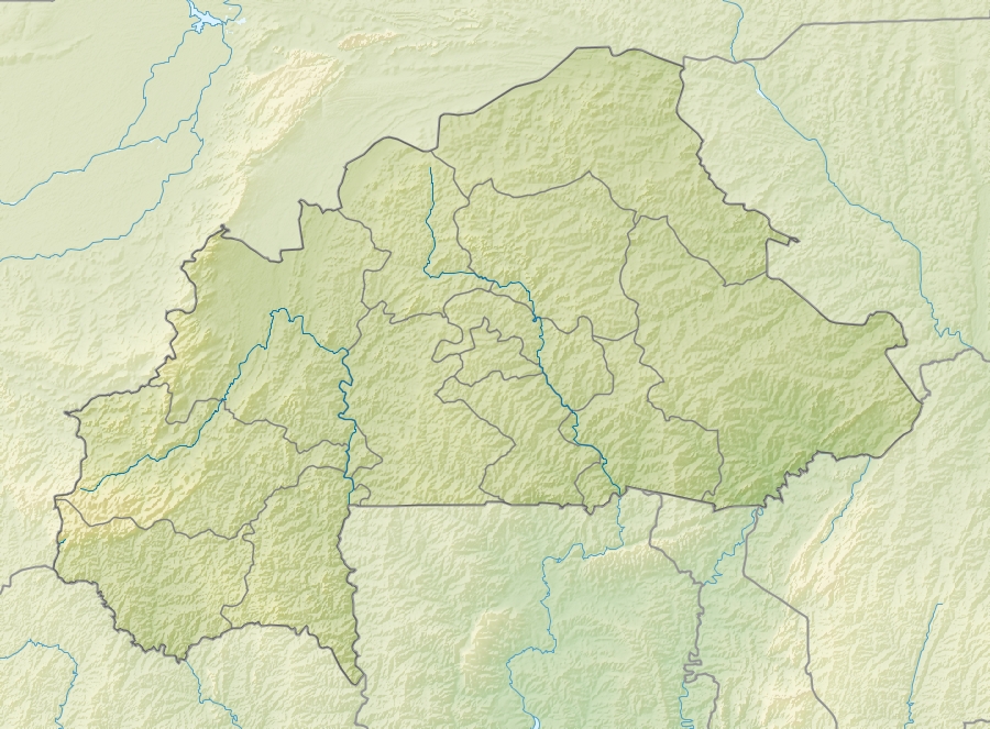
English: Location map of Burkina Faso Equirectangular projection. Strechted by 102%. Geographic limits of the map:
  * N: 15.5° N
  * S: 9° N
  * W: 6° W
  * E: 3° E
Made with Natural Earth. Free vector and raster map data @ naturalearthdata.com. |
| Date | |
| Soorce | Ain wirk |
| Author | Uwe Dedering |
| Other versions |
|

Licensin
I, the copyright holder of this work, hereby publish it under the following licenses:
This file is licensed unner the Creative Commons Attribution-Share Alike 3.0 Unported license.
- Ye are free:
- tae share – tae copy, distribute an transmit the wirk
- tae remix – tae adapt the wirk
- Unner the follaein condeetions:
- attribution – Ye must attribute the wirk in the manner specified bi the author or licensor (but nae in ony way that suggests that thay endorse ye or yer uise o the wirk).
- share alik – If ye alter, transform, or big upon this wirk, ye mey distribute the resultin wirk anly unner the same or seemilar license tae this ane.

|
Permission is grantit tae copy, distribute an/or modify this document unner the terms o the GNU Free Documentation License, Version 1.2 or ony later version published bi the Free Software Foundation; wi no Invariant Sections, no Front-Cover Texts, an no Back-Cover Texts. A copy o the license is includit in the section enteetled GNU Free Documentation License. |
Ye mey select the license o yer choice.
File history
Clap oan ae date/time fer tae see the file aes it kithed at that time.
| Date/Time | Thummnail | Dimensions | Uiser | Comment | |
|---|---|---|---|---|---|
| current | 11:30, 24 Apryle 2010 | | 900 × 663 (527 KB) | Uwe Dedering | {{Information |Description={{en|1=English: Location map of Burkina Faso Equirectangular projection. Strechted by 102%. Geographic limits of the map: * N: 15.5° N * S: 9° N * W: 6° W * E: 3° E Made with Natural Earth. Free vector and rast |
Eimage airtins
The follaein pages airts tae this image:
Global file uisage
The follaein ither wikis uise this file:
- Uisage on als.wikipedia.org
- Uisage on ast.wikipedia.org
- Uisage on az.wikipedia.org
- Uisage on ba.wikipedia.org
- Uisage on be.wikipedia.org
- Uisage on bg.wikipedia.org
- Uisage on bn.wikipedia.org
- Uisage on bs.wikipedia.org
- Uisage on ca.wikipedia.org
- Uisage on ceb.wikipedia.org
- Uisage on ce.wikipedia.org
- Uisage on ckb.wikipedia.org
- Uisage on cs.wikipedia.org
- Uisage on da.wikipedia.org
- Uisage on de.wikipedia.org
- Burkina Faso
- Obervolta
- Tena Kourou
- Cascades de Karfiguéla
- Mare d’Oursi
- Mare aux Hippopotames
- Tengrélasee
- Bamsee
- Demsee
- Vorlage:Positionskarte Burkina Faso
- Kompienga-Stausee
- Pic de Nahouri
- Bagré-Stausee
- Ziga-Stausee
- Wikipedia:Kartenwerkstatt/Positionskarten/Afrika
- Benutzer:Uwe Dedering
- Benutzer:Uwe Dedering/Länderliste
- Goldtagebau Essakane
- Uisage on de.wikivoyage.org
View mair global usage o this file.