
File:Bretagne region location map.svg

Size of this PNG preview of this SVG file: 800 × 496 pixels. Ither resolutions: 320 × 198 pixels | 640 × 397 pixels | 1,024 × 635 pixels | 1,280 × 793 pixels | 2,560 × 1,587 pixels | 1,615 × 1,001 pixels.
Oreeginal file (SVG file, nominallie 1,615 × 1,001 pixels, file size: 477 KB)
Ootline
| Camera location | | View this and other nearby images on: OpenStreetMap |
|---|
| Descreeption |
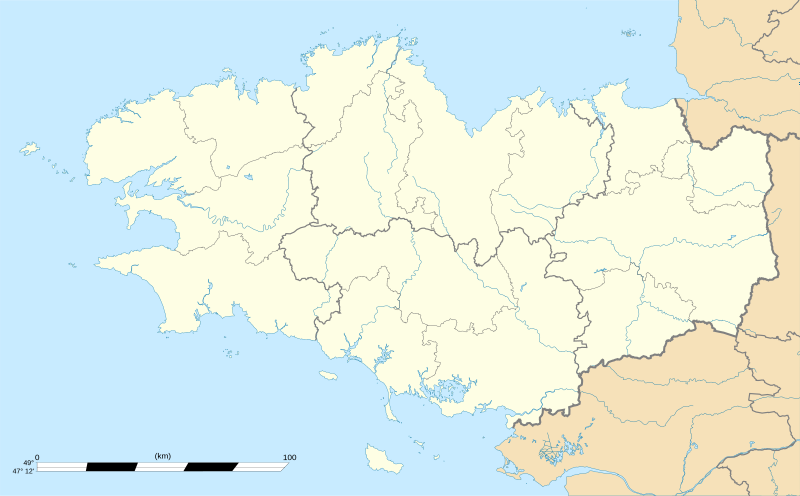
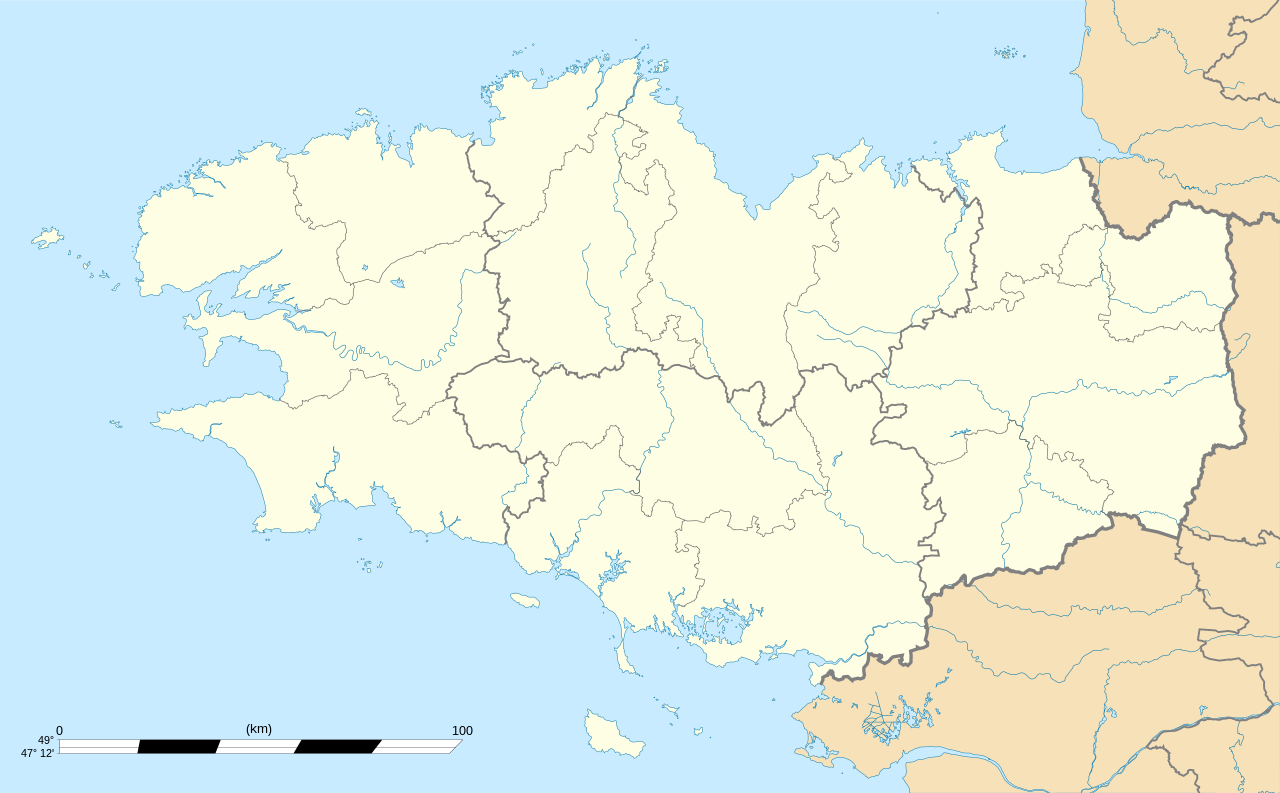
English: Blank administrative map of the region of Bretagne, France, for geo-location purpose, with distinct boundaries for regions, departments and arrondissements.
Français : Carte administrative vierge de la région Bretagne, France, destinée à la géolocalisation, avec limite distincte des régions, départements et arrondissements. Equirectangular projection, WGS84 datum
Geographic limits of the map:
|
||
| Date | |||
| Soorce |
Ain wirk
|
||
| Author | Eric Gaba (Sting - fr:Sting) | ||
| Permission (Reuisin this file) |
|
||
| Other versions |
Derivative works of this file: Niver Brezhonegrien dre c'hant e pep bro Breizh, diouzh an diagnostik war stad ar brezhoneg graet e 2004.png
|

Licensin
I, the copyright holder of this work, hereby publish it under the following licenses:
This file is licensed unner the Creative Commons Attribution-Share Alike 3.0 Unported license.
- Ye are free:
- tae share – tae copy, distribute an transmit the wirk
- tae remix – tae adapt the wirk
- Unner the follaein condeetions:
- attribution – Ye must attribute the wirk in the manner specified bi the author or licensor (but nae in ony way that suggests that thay endorse ye or yer uise o the wirk).
- share alik – If ye alter, transform, or big upon this wirk, ye mey distribute the resultin wirk anly unner the same or seemilar license tae this ane.

|
Permission is grantit tae copy, distribute an/or modify this document unner the terms o the GNU Free Documentation License, Version 1.2 or ony later version published bi the Free Software Foundation; wi no Invariant Sections, no Front-Cover Texts, an no Back-Cover Texts. A copy o the license is includit in the section enteetled GNU Free Documentation License. |
Ye mey select the license o yer choice.
File history
Clap oan ae date/time fer tae see the file aes it kithed at that time.
| Date/Time | Thummnail | Dimensions | Uiser | Comment | |
|---|---|---|---|---|---|
| current | 01:10, 7 August 2008 | | 1,615 × 1,001 (477 KB) | Sting | == Summary == {{Location|48|06|00|N|03|04|30|W|scale:2000000}} <br/> {{Information |Description={{en|Blank map of the region of Bretagne, France, for geo-location purpose.}} {{fr|Carte vierge de la région Bretagne, Franc |
Eimage airtins
The follaein pages airts tae this image:
Global file uisage
The follaein ither wikis uise this file:
- Uisage on als.wikipedia.org
- Uisage on ar.wikipedia.org
- Uisage on ast.wikipedia.org
- Uisage on atj.wikipedia.org
- Uisage on azb.wikipedia.org
- Uisage on bg.wikipedia.org
- Uisage on bn.wikipedia.org
- Uisage on br.wikipedia.org
- Uisage on ca.wikipedia.org
- Usuari:PereBot/cobertura/França Bretanya/ranking
- Usuari:PereBot/cobertura/França Bretanya/br
- Usuari:PereBot/cobertura/França Bretanya/ca
- Usuari:PereBot/cobertura/França Bretanya/cy
- Usuari:PereBot/cobertura/França Bretanya/de
- Usuari:PereBot/cobertura/França Bretanya/en
- Usuari:PereBot/cobertura/França Bretanya/es
- Usuari:PereBot/cobertura/França Bretanya/eu
- Usuari:PereBot/cobertura/França Bretanya/fr
- Usuari:PereBot/cobertura/França Bretanya/ga
- Usuari:PereBot/cobertura/França Bretanya/gl
- Usuari:PereBot/cobertura/França Bretanya/it
- Usuari:PereBot/cobertura/França Bretanya/nl
- Usuari:PereBot/cobertura/França Bretanya/pl
- Usuari:PereBot/cobertura/França Bretanya/sk
- Mòdul:Location map/data/França Bretanya
- Mòdul:Location map/data/França Bretanya/ús
- Mòdul:Location map/data/Bretanya
- Uisage on ceb.wikipedia.org
- Uisage on cs.wikipedia.org
- Uisage on cy.wikipedia.org
- Uisage on de.wikipedia.org
- Benutzer:Wahrerwattwurm/Trainingsgelände
- Wikipedia Diskussion:WikiProjekt Französische Gemeinden/Archiv/2008
- Wikipedia:Kartenwerkstatt/Positionskarten/Europa
- Vorlage:Positionskarte Frankreich Bretagne
- Vorlage Diskussion:Infobox Gemeinde in Frankreich/Archiv/2008
- Wikipedia Diskussion:WikiProjekt Georeferenzierung/Archiv/2010-I
View mair global usage o this file.