
File:Bonnybridge Terraces - geograph.org.uk - 138508.jpg
Nae heier resolution available.
Bonnybridge_Terraces_-_geograph.org.uk_-_138508.jpg (640 × 480 pixels, file size: 284 KB, MIME type: image/jpeg)
Ootline
| Descreeption |
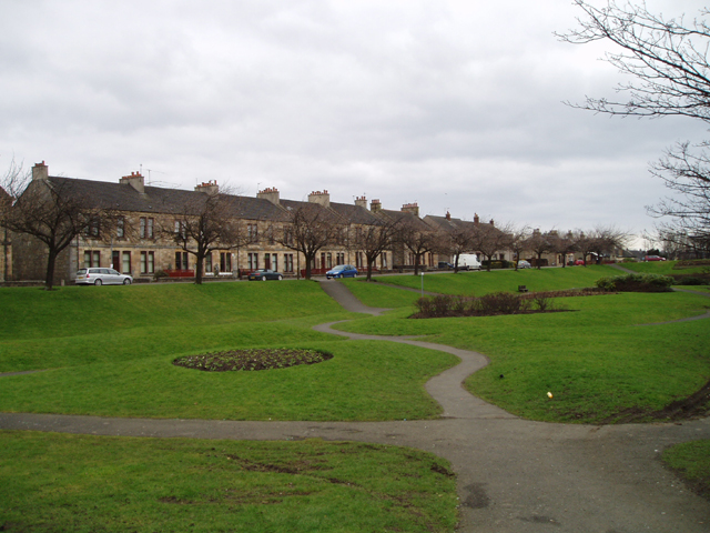
English: Bonnybridge Terraces. These 19th Century houses beside a picturesque park in the heart of this industrial town which lies on the Bonny Water. The town developed in the 19th century in association with a Saw Mill and Paper Mill and Iron Foundries which used the river and the nearby Forth and Clyde Canal. |
| Date | |
| Soorce | From geograph.org.uk |
| Author | Kevin Rae |
| Attribution (required by the license) | Kevin Rae / Bonnybridge Terraces / |
| Camera location | | View this and other nearby images on: OpenStreetMap |
|---|
_&language=sco)
| Object location | | View this and other nearby images on: OpenStreetMap |
|---|
_&language=sco)
Licensin

|
This image was taken from the Geograph project collection. See this photograph's page on the Geograph website for the photographer's contact details. The copyright on this image is owned by Kevin Rae and is licensed for reuse under the Creative Commons Attribution-ShareAlike 2.0 license.
|
This file is licensed under the Creative Commons Attribution-Share Alike 2.0 Generic license.
Attribution: Kevin Rae
- Ye are free:
- tae share – tae copy, distribute an transmit the wirk
- tae remix – tae adapt the wirk
- Unner the follaein condeetions:
- attribution – Ye must attribute the wirk in the manner specified bi the author or licensor (but nae in ony way that suggests that thay endorse ye or yer uise o the wirk).
- share alik – If ye alter, transform, or big upon this wirk, ye mey distribute the resultin wirk anly unner the same or seemilar license tae this ane.
File history
Clap oan ae date/time fer tae see the file aes it kithed at that time.
| Date/Time | Thummnail | Dimensions | Uiser | Comment | |
|---|---|---|---|---|---|
| current | 03:20, 31 Januar 2010 | | 640 × 480 (284 KB) | GeographBot | == {{int:filedesc}} == {{Information |description={{en|1=Bonnybridge Terraces. These 19th Century houses beside a picturesque park in the heart of this industrial town which lies on the Bonny Water. The town developed in the 19th century in association wi |
Eimage airtins
The follaein pages airts tae this image:
Global file uisage
The follaein ither wikis uise this file:
- Uisage on af.wikipedia.org
- Uisage on en.wikipedia.org
- Uisage on fa.wikipedia.org
- Uisage on gd.wikipedia.org
- Uisage on ru.wikipedia.org
- Uisage on sv.wikipedia.org