
File:Bolivia adm location map.svg

Oreeginal file (SVG file, nominallie 1,342 × 1,488 pixels, file size: 245 KB)
Ootline
| Descreeption |
Deutsch: Positionskarte von Bolivien
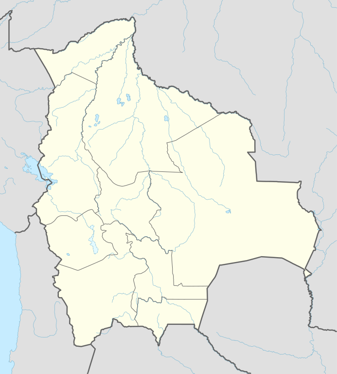
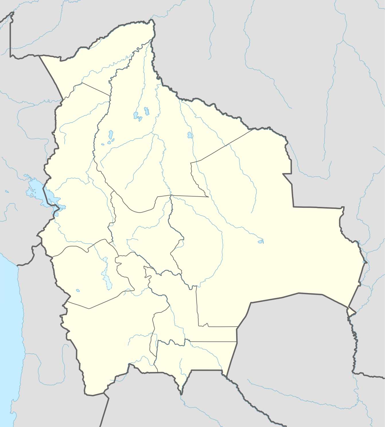
English: Location map of Bolivia
|
||||||||||||
| Date | |||||||||||||
| Soorce |
Own work using:
|
||||||||||||
| Author | NordNordWest | ||||||||||||
| SVG genesis | This map was created with Adobe Illustrator.
|
||||||||||||

Licensin
Usage of this file with:

explanatory notes: Legally binding is only the full legalcode. For a free usage I recommend to respect the following licence conditions:
1. Provide my name as given above: NordNordWest,
2. a copy of, or the URI for, the applicable license: https://creativecommons.org/licenses/by-sa/3.0/de/legalcode,
3. the title of the work,
4. in the case of an adaptation, a credit identifying the use of the work in the adaptation.
This license and the rights granted hereunder will terminate automatically upon any breach by you of the terms of this license. Any of the above conditions can be waived if you get permission from the copyright holder. If you have questions or wish differing conditions, please contact me through nnwest or my discussion page ![]() t-online.de
t-online.de
- Ye are free:
- tae share – tae copy, distribute an transmit the wirk
- tae remix – tae adapt the wirk
- Unner the follaein condeetions:
- attribution – Ye must attribute the wirk in the manner specified bi the author or licensor (but nae in ony way that suggests that thay endorse ye or yer uise o the wirk).
- share alik – If ye alter, transform, or big upon this wirk, ye mey distribute the resultin wirk anly unner the same or seemilar license tae this ane.

File history
Clap oan ae date/time fer tae see the file aes it kithed at that time.
| Date/Time | Thummnail | Dimensions | Uiser | Comment | |
|---|---|---|---|---|---|
| current | 11:18, 24 Januar 2016 | | 1,342 × 1,488 (245 KB) | NordNordWest | upd |
| 18:04, 11 Mey 2015 |  | 1,342 × 1,488 (245 KB) | NordNordWest | == {{int:filedesc}} == {{Information |Description= {{de|1=Positionskarte von Bolivien}} {{en|1=Location map of Bolivia}} {{Location map series N |stretching=105 |top=-9.0 |bottom=-24.0 |left=-71.0 |right=-58.6 }} |Source={{Own using}} * United States N... |
Eimage airtins
The follaein pages airts tae this image:
- Achacachi
- Achacachi Municipality
- Ancoraimes
- Ancoraimes Municipality
- Arampampa
- Arani, Bolivie
- Arani Municipality
- Ayata Municipality
- Ayo Ayo
- Ayo Ayo Municipality
- Calamarca
- Calamarca Municipality
- Capinota
- Capinota Municipality
- Chayanta Municipality
- Chimoré, Cochabamba
- Chimoré Municipality
- Chuma, La Paz
- Chuma Municipality
- Chuquihuta Municipality
- Cliza
- Cliza Municipality
- Cobija
- Cocapata Municipality
- Cochabamba
- Colcapirhua
- Colcapirhua Municipality
- Colcha "K" Municipality
- Collana
- Collana Municipality
- Colomi
- Colomi Municipality
- Colquechaca
- Colquechaca Municipality
- Colquencha
- Colquencha Municipality
- Cotoca
- Cuchumuela
- Cuchumuela Municipality
- Entre Ríos, Cochabamba
- Entre Ríos, Tarija
- Entre Ríos Municipality, Cochabamba
- Guayaramerín Municipality
- Inquisivi
- Inquisivi Municipality
- La Paz
- La Paz Municipality, Bolivie
- Lagunillas, Santa Cruz
- Llallagua Municipality
- Luribay
- Luribay Municipality
- Mizque Municipality
- Morochata
- Ocurí
- Ocurí Municipality
- Orinoca
- Oruro, Bolivie
- Patacamaya
- Patacamaya Municipality
- Pocona
- Pocona Canton
- Pocona Municipality
- Pojo, Cochabamba
- Pojo Municipality
- Potosí
- Potosí Municipality
- Puerto Villarroel
- Puerto Villarroel Municipality
- Quillacollo Municipality
- Quime
- Quime Municipality
- Sacaba
- Sacaba Municipality
- San Andrés, Marbán
- San Borja, Bolivie
- San Borja Municipality
- San Ignacio de Moxos
- San Pablo de Tiquina
- Santa Cruz de la Sierra
- Sapahaqui
- Sapahaqui Municipality
- Sica Sica
- Sica Sica Municipality
- Sucre
- Tiraque
- Tiraque Municipality
- Toco, Cochabamba
- Toco Municipality
- Tolata, Cochabamba
- Tolata Municipality
- Totora, Cochabamba
- Totora Municipality
- Umala
- Umala Municipality
- Vacas, Cochabamba
- Vacas Municipality
- Villa Tunari
Global file uisage
The follaein ither wikis uise this file:
- Uisage on af.wikipedia.org
- Uisage on ast.wikipedia.org
- Laguna Grande (Bolivia)
- Salar d'Empexa
- Llaguna Coruto
- Sucre
- La Paz
- Ríu Mamoré
- Ríu Yata
- Ríu Itonomas
- Ríu Caine
- Ríu Rocha
- Ríu Beni
- Aeropuertu Internacional El Alto
- Mi Teleférico
- Colquechaca
- Potosí
- Salar d'Uyuni
- Llagu Poopó
- Nevado Sajama
- Módulu:Mapa de llocalización/datos/Bolivia
- Copa América 1997
- Universidá Andina Simón Bolívar
- Aeropuertu Apiaguaiki Tumpa
- Aeropuertu Apolo
- Aeropuertu Ascensión de Guarayos
- Aeropuertu Bermejo
- Aeropuertu Capitán Aníbal Arab
- Aeropuertu Capitán Av. Selin Zeitun Lopez
- Aeropuertu Capitán Av. Vidal Villagomez Toledo
- Aeropuertu Capitán Nicolás Rojas
- Aeropuertu Capitán Oriel Lea Plaza
- Aeropuertu Capitán de Av. Emilio Beltrán
- Aeropuertu Charaña
- Aeropuertu El Trompillo
- Aeropuertu Grán Parapetí Camiri
- Aeropuertu José Chávez Suárez
- Aeropuertu Joya Andina
- Aeropuertu Juan Mendoza
- Aeropuertu Juana Azurduy de Padilla
- Aeropuertu Rurrenabaque
- Aeropuertu Teniente Coronel Rafael Pabón
- Aeropuertu Teniente Jorge Henrich Arauz
- Aeropuertu de Yacuiba
- Alota
View mair global usage o this file.