
File:Blank map of xmao-geoloc.svg

Size of this PNG preview of this SVG file: 512 × 323 pixels. Ither resolutions: 320 × 202 pixels | 640 × 404 pixels | 1,024 × 646 pixels | 1,280 × 808 pixels | 2,560 × 1,615 pixels.
Oreeginal file (SVG file, nominallie 512 × 323 pixels, file size: 155 KB)
Ootline
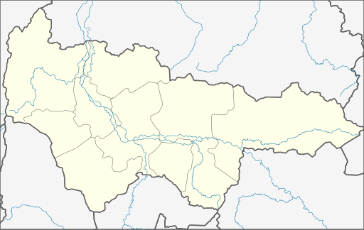
| Descreeption | Geolocation map for Khnaty-Mansi's Autonomous District of Yugra (Russia) |
| Date | |
| Soorce | Own Draw |
| Author | WWay, Deviritative work from Khanty-Mansiysky AO.png by СафроновАВ (Russian Wikipedia) |
| Other versions |
Derivative works of this file: |
Licensin
I, the copyright holder of this work, hereby publish it under the following license:
This file is licensed unner the Creative Commons Attribution-Share Alike 3.0 Unported license.
- Ye are free:
- tae share – tae copy, distribute an transmit the wirk
- tae remix – tae adapt the wirk
- Unner the follaein condeetions:
- attribution – Ye must attribute the wirk in the manner specified bi the author or licensor (but nae in ony way that suggests that thay endorse ye or yer uise o the wirk).
- share alik – If ye alter, transform, or big upon this wirk, ye mey distribute the resultin wirk anly unner the same or seemilar license tae this ane.
File history
Clap oan ae date/time fer tae see the file aes it kithed at that time.
| Date/Time | Thummnail | Dimensions | Uiser | Comment | |
|---|---|---|---|---|---|
| current | 21:03, 29 November 2010 | | 512 × 323 (155 KB) | Виктор В | Обрезка по координатам, стандартные цвета, дополнения на основе naturalearthdata.com |
| 01:26, 8 September 2010 |  | 500 × 300 (8 KB) | Orange-kun | Code reduced | |
| 17:02, 9 Mairch 2010 |  | 560 × 325 (23 KB) | Orange-kun | Reverted to version as of 20:39, 5 March 2010 Khanty-Mansia is the independent subject of Russia. Even trough it connects to Tyumen Oblast, we use geoloc for the subjects. | |
| 23:01, 5 Mairch 2010 |  | 1,030 × 661 (82 KB) | Пакко | corr | |
| 22:50, 5 Mairch 2010 |  | 1,030 × 661 (82 KB) | Пакко | better version | |
| 20:39, 5 Mairch 2010 |  | 560 × 325 (23 KB) | Iguacu | standart colours | |
| 17:17, 24 September 2009 |  | 560 × 325 (21 KB) | Orange-kun | {{Information |Description= Geolocation map for Khnaty-Mansi's Autonomous District of Yugra (Russia) |Source=Own Draw |Date=24\09\09 |Author=WWay |Permission= |other_versions= }} |
Eimage airtins
The follaein pages airts tae this image:
Global file uisage
The follaein ither wikis uise this file:
- Uisage on af.wikipedia.org
- Uisage on ar.wikipedia.org
- Uisage on azb.wikipedia.org
- Uisage on ba.wikipedia.org
- Ҡалып:ПозКарта Рәсәй Ханты-Манси автономиялы округы — Югра
- Ортъягун (Хант-Манси автономиялы округы — Югра)
- Верхнеказымский
- Ванзеват
- Нумто
- Казым (Хант-Манси автономиялы округы — Югра)
- Лыхма
- Пашторы
- Сосновка (Белоярский районы)
- Юильск
- Деминская
- Тутлейм
- Шайтанка (ауыл)
- Анеева
- Ванзетур
- Новинская
- Нерохи
- Усть-Манья
- Приполярный
- Хурумпауль
- Щекурья
- Ясунт
- Светлый (Хант-Манси автономиялы округы)
- Сосьва (Хант-Манси автономиялы округы)
- Верхненильдина
- Кимкьясуй
- Ломбовож
- Патрасуй
- Теги (ҡасаба)
- Пугоры
- Устрём
- Елушкино (Кондинское районы)
- Алтай (Кондинское районы)
- Болчары
- Дальний (Кондинское районы)
- Ильичёвка
- Кама (Кондинское районы)
- Катыш (Кондинское районы)
- Леуши
- Леушинка
- Лиственичный (Кондинское районы)
- Мулымья
- Назарово (Кондинское районы)
- Никулкина
- Сатыга
- Сотник (Кондинское районы)
View mair global usage o this file.