
File:Belarus adm location map.svg

Oreeginal file (SVG file, nominallie 1,626 × 1,451 pixels, file size: 238 KB)
Ootline
| Descreeption |
Deutsch: Positionskarte von Weißrussland
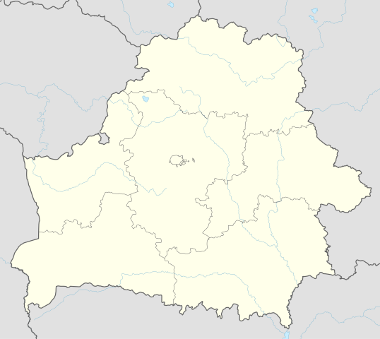
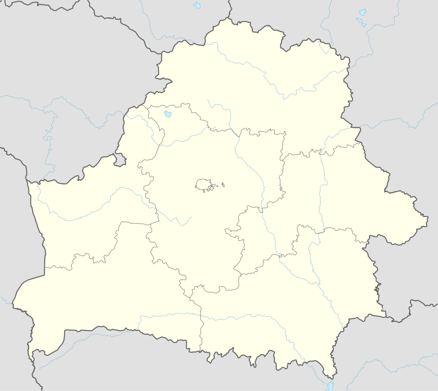
English: Location map of Belarus
|
||||||||||||
| Date | |||||||||||||
| Soorce |
Own work using:
|
||||||||||||
| Author | NordNordWest | ||||||||||||
| SVG genesis | This map was created with Adobe Illustrator.
|
||||||||||||

Licensin
Usage of this file with:

explanatory notes: Legally binding is only the full legalcode. For a free usage I recommend to respect the following licence conditions:
1. Provide my name as given above: NordNordWest,
2. a copy of, or the URI for, the applicable license: https://creativecommons.org/licenses/by-sa/3.0/de/legalcode,
3. the title of the work,
4. in the case of an adaptation, a credit identifying the use of the work in the adaptation.
This license and the rights granted hereunder will terminate automatically upon any breach by you of the terms of this license. Any of the above conditions can be waived if you get permission from the copyright holder. If you have questions or wish differing conditions, please contact me through nnwest or my discussion page ![]() t-online.de
t-online.de
- Ye are free:
- tae share – tae copy, distribute an transmit the wirk
- tae remix – tae adapt the wirk
- Unner the follaein condeetions:
- attribution – Ye must attribute the wirk in the manner specified bi the author or licensor (but nae in ony way that suggests that thay endorse ye or yer uise o the wirk).
- share alik – If ye alter, transform, or big upon this wirk, ye mey distribute the resultin wirk anly unner the same or seemilar license tae this ane.

File history
Clap oan ae date/time fer tae see the file aes it kithed at that time.
| Date/Time | Thummnail | Dimensions | Uiser | Comment | |
|---|---|---|---|---|---|
| current | 09:51, 6 Mey 2016 | | 1,626 × 1,451 (238 KB) | NordNordWest | c |
| 16:52, 5 Mey 2016 |  | 1,626 × 1,451 (842 KB) | NordNordWest | c | |
| 19:04, 10 September 2014 |  | 1,626 × 1,451 (249 KB) | NordNordWest | c | |
| 18:54, 10 September 2014 |  | 1,626 × 1,451 (250 KB) | NordNordWest | == {{int:filedesc}} == {{Information |Description= {{de|1=Positionskarte von Weißrussland}} {{en|1=Location map of Belarus}} {{Location map series N |top=56.4 |bottom=51.1 |left=22.9 |right=33.0 }} |Source={{Own using}} * United States National Imager... |
Eimage airtins
Global file uisage
The follaein ither wikis uise this file:
- Uisage on af.wikipedia.org
- Uisage on als.wikipedia.org
- Uisage on ast.wikipedia.org
- Aeropuertu de Maguilov
- Minsk
- Raión de Berazino
- Raión de Chervyen
- Raión de Dzyarzhynsk
- Raión de Kapyl
- Raión de Kletsk
- Raión de Krupki
- Raión de Lagoysk
- Raión de Maladzyechna
- Raión de Minsk
- Raión de Myadzel
- Raión de Nesvizh
- Raión de Saligorsk
- Raión de Slutsk
- Raión de Smalyavichy
- Raión de Staryadarogui
- Raión de Valozhyn
- Raión de Vileyka
- Brest (Bielorrusia)
- Gómel
- Vítebsk
- Maguilov
- Grodno
- Borísov (Minsk)
- Babruisk
- Saligorsk
- Mazyr
- Orsha
- Pinsk
- Baránavichi
- Módulu:Mapa de llocalización/datos/Bielorrusia
- Módulu:Mapa de llocalización/datos/Bielorrusia/usu
- Aeropuertu Internacional de Minsk
- Aeropuertu de Gómel
- Žodzina
- Yeshivá de Volozhin
- Volozhyn
- Mir (Bielorrusia)
- Uisage on azb.wikipedia.org
- Uisage on ban.wikipedia.org
- Uisage on be.wikipedia.org
View mair global usage o this file.