
File:Bavaria relief location map.jpg

Size o this luikower: 608 × 600 pixels. Ither resolutions: 243 × 240 pixels | 487 × 480 pixels | 779 × 768 pixels | 1,038 × 1,024 pixels | 1,695 × 1,672 pixels.
Oreeginal file (1,695 × 1,672 pixels, file size: 1.14 MB, MIME type: image/jpeg)
Ootline
| Descreeption |
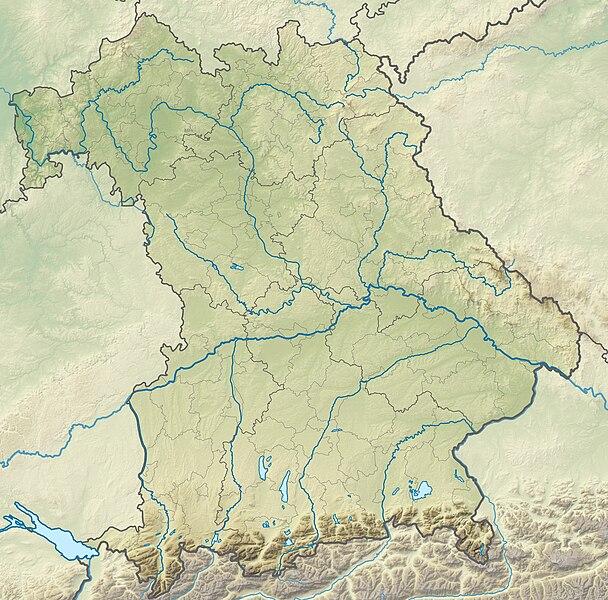
Deutsch: Physische Positionskarte Bayern, Deutschland. Geographische Begrenzung der Karte:
English: Physical Location map Bavaria, Germany. Geographic limits of the map:
|
| Date | |
| Soorce |
Ain wirk |
| Author | Grundkarte TUBS, Relief Alexrk2 |
| Other versions |
|

Licensin
I, the copyright holder of this work, hereby publish it under the following licenses:

|
Permission is grantit tae copy, distribute an/or modify this document unner the terms o the GNU Free Documentation License, Version 1.2 or ony later version published bi the Free Software Foundation; wi no Invariant Sections, no Front-Cover Texts, an no Back-Cover Texts. A copy o the license is includit in the section enteetled GNU Free Documentation License. |
This file is licensed under the Creative Commons Attribution-Share Alike 3.0 Unported, 2.5 Generic, 2.0 Generic and 1.0 Generic license.
- Ye are free:
- tae share – tae copy, distribute an transmit the wirk
- tae remix – tae adapt the wirk
- Unner the follaein condeetions:
- attribution – Ye must attribute the wirk in the manner specified bi the author or licensor (but nae in ony way that suggests that thay endorse ye or yer uise o the wirk).
- share alik – If ye alter, transform, or big upon this wirk, ye mey distribute the resultin wirk anly unner the same or seemilar license tae this ane.
Ye mey select the license o yer choice.
File history
Clap oan ae date/time fer tae see the file aes it kithed at that time.
| Date/Time | Thummnail | Dimensions | Uiser | Comment | |
|---|---|---|---|---|---|
| current | 12:17, 19 November 2009 | | 1,695 × 1,672 (1.14 MB) | Alexrk2 | == {{int:filedesc}} == {{Information |Description= {{de|Physische Positionskarte Bayern, Deutschland. Geographische Begrenzung der Karte:}} {{en|Physical Location map Bavaria, Germany. Geographic limits of the map:}} * N: |
Eimage airtins
The follaein pages airts tae this image:
Global file uisage
The follaein ither wikis uise this file:
- Uisage on als.wikipedia.org
- Uisage on an.wikipedia.org
- Chiemsee
- Tüttensee
- Río Traun (Bavera)
- Rote Traun
- Hochfelln
- Hochgern
- Achental (Bavera)
- Watzmann
- Waginger See
- Río Itz
- Königssee
- Ammersee
- Río Ammer
- Laco de Starnberg
- Eibsee
- Tegernsee (laco)
- Pilsensee
- Wörthsee (laco)
- Weßlinger See
- Feringasee
- Walchensee
- Egglburger See
- Lacos de Seeon
- Unterschleißheimer See
- Unterföhringer See
- Zugspitze
- Kochelsee
- Hoher Peißenberg
- Sylvensteinspeicher
- Río Würm
- Großer Brombachsee
- Schliersee (laco)
- Spitzingsee
- Wendelstein
- Altmühlsee
- Glaciar de Blaueis
- Río Lech
- Uisage on ar.wikipedia.org
- Uisage on ast.wikipedia.org
View mair global usage o this file.