
File:Basque Country location map.svg

Size of this PNG preview of this SVG file: 512 × 401 pixels. Ither resolutions: 307 × 240 pixels | 613 × 480 pixels | 981 × 768 pixels | 1,280 × 1,003 pixels | 2,560 × 2,005 pixels.
Oreeginal file (SVG file, nominallie 512 × 401 pixels, file size: 279 KB)
| Descreeption |
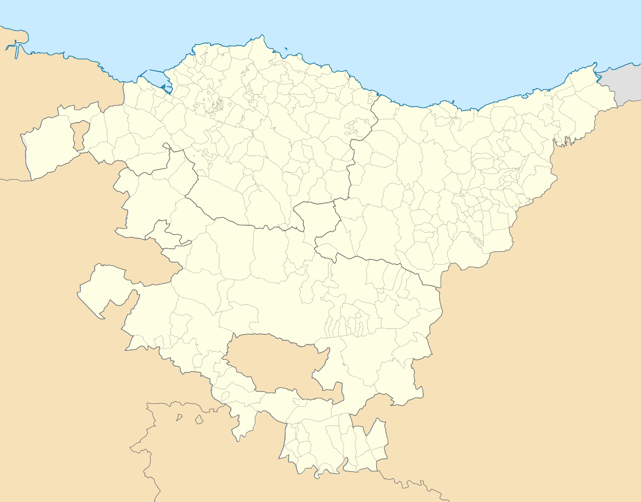
English: Location map of Pays Basque (Spain) Equirectangular projection, N/S stretching 130 %. Geographic limits of the map: * N: 43.533029° N * S: 42.421667° N * W: 3.509299° W * E: 1.660014° W Español: Mapa de localización de la comunidad autónoma del País Vasco (España) Proyección equirrectangular, N/S estirada 130 %. Límites geográficos del mapa: * N: 43.533029° N * S: 42.421667° N * O: 3.509299° O * E: 1.660014° O |
| Date | (UTC) |
| Soorce | |
| Author |
|
| This is a retouched picture, which means that it has been digitally altered from its original version. Modifications: harmonisation couleur+nettoyage. The original can be viewed here: País Vasco-loc.svg:
|
I, the copyright holder of this work, hereby publish it under the following license:
This file is licensed unner the Creative Commons Attribution-Share Alike 3.0 Unported license.
- Ye are free:
- tae share – tae copy, distribute an transmit the wirk
- tae remix – tae adapt the wirk
- Unner the follaein condeetions:
- attribution – Ye must attribute the wirk in the manner specified bi the author or licensor (but nae in ony way that suggests that thay endorse ye or yer uise o the wirk).
- share alik – If ye alter, transform, or big upon this wirk, ye mey distribute the resultin wirk anly unner the same or seemilar license tae this ane.
Original upload log
This image is a derivative work of the following images:
- File:País_Vasco-loc.svg licensed with Cc-by-sa-3.0
- 2010-05-14T23:00:52Z Miguillen 512x401 (323163 Bytes) == {{int:filedesc}} == {{Information |Description= {{en|Location map of [[:en:Pays Basque|Pays Basque]]}} Equirectangular projection, N/S stretching 130 %. Geographic limits of the map: * N: 43.5625° N * S: 42.375° N *
Uploaded with derivativeFX
File history
Clap oan ae date/time fer tae see the file aes it kithed at that time.
| Date/Time | Thummnail | Dimensions | Uiser | Comment | |
|---|---|---|---|---|---|
| current | 10:26, 30 October 2015 | | 512 × 401 (279 KB) | Mapeh | Rajout de la municipalité d'Urduña. |
| 13:58, 20 Mey 2010 |  | 512 × 401 (285 KB) | Miguillen | marco y bordes de mar y fronteras | |
| 12:11, 19 Mey 2010 |  | 512 × 401 (274 KB) | Xfigpower | {{Information |Description={{en|Location map of Pays Basque (Spain)}} Equirectangular projection, N/S stretching 130 %. Geographic limits of the map: * N: 43.533029° N * S: 42.421667° N * W: 3.509299° W |
Eimage airtins
The follaein pages airts tae this image:
Global file uisage
The follaein ither wikis uise this file:
- Uisage on ar.wikipedia.org
- Uisage on ast.wikipedia.org
- Uisage on azb.wikipedia.org
- سوپوئترا
- لموآ
- آزپیتیا
- آقوراین
- اجانقیز
- بیتوریا
- قتسو
- ارنانی
- آراتزو
- زارائوز
- باراکالدو
- وله د تراپاقا
- برانقو
- پورتوقالته
- لویو (ایسپانیا)
- انیاتی
- آموریو
- ارون (ایسپانیا)
- بوستوریا
- بریز (ایسپانیا)
- بیلبائو
- فوئنترابیا
- والماسدا
- آبادینو
- آرهآتزا
- آبانتو وای سیربانا آبانتو زیربنا
- ایبار
- دورانقو (بیسکی)
- آزکویتیا
- قرنیکا
- اونداروآ
- لکیتیو
- لاباستیدا
- امزکتا
- ایا
- آبالتزیسکتا
- Uisage on az.wikipedia.org
- Uisage on ba.wikipedia.org
- Uisage on bg.wikipedia.org
View mair global usage o this file.