
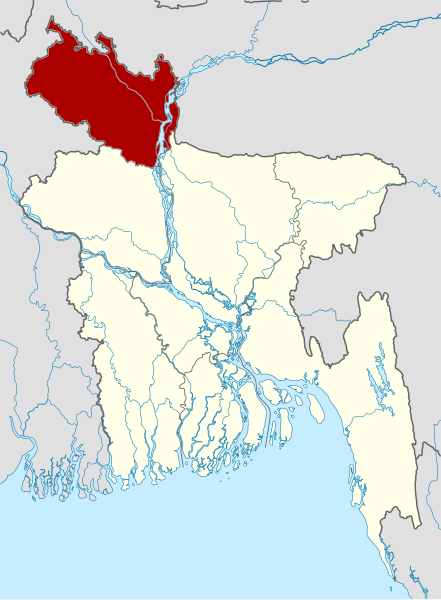
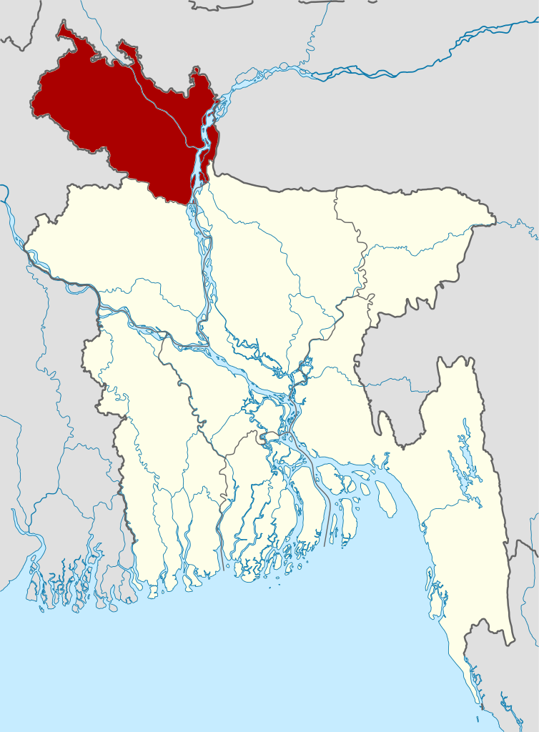
File:Bangladesh location map-Rangpur Division.svg

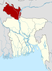
Size of this PNG preview of this SVG file: 441 × 599 pixels. Ither resolutions: 177 × 240 pixels | 353 × 480 pixels | 565 × 768 pixels | 754 × 1,024 pixels | 1,507 × 2,048 pixels | 1,205 × 1,637 pixels.
Oreeginal file (SVG file, nominallie 1,205 × 1,637 pixels, file size: 554 KB)
| Descreeption |
বাংলা: বাংলাদেশের অবস্থান মানচিত্র
সমদূরবর্তী সিলিন্ডারের আকৃতিবিশিষ্ট অভিক্ষেপণ, উত্তর/দক্ষিণ বিস্তৃতকরণ ১১০ %। মানচিত্রের ভৌগোলিক সীমা:
Deutsch: Positionskarte von Bangladesch Quadratische Plattkarte, N-S-Streckung 110 %. Geographische Begrenzung der Karte: * N: 26.8° N * S: 20.5° N * W: 87.8° O * O: 92.9° O English: Location map of Bangladesh Equirectangular projection, N/S stretching 110 %. Geographic limits of the map: * N: 26.8° N * S: 20.5° N * W: 87.8° E * E: 92.9° E
== Rangpur Division (Bangladesh) as proclaimed on January 25, 2010 |
| Date | (UTC) |
| Soorce | |
| Author |
|
| This is a retouched picture, which means that it has been digitally altered from its original version. The original can be viewed here: Bangladesh divisions english.png:
|
This file is licensed unner the Creative Commons Attribution-Share Alike 3.0 Unported license.
- Ye are free:
- tae share – tae copy, distribute an transmit the wirk
- tae remix – tae adapt the wirk
- Unner the follaein condeetions:
- attribution – Ye must attribute the wirk in the manner specified bi the author or licensor (but nae in ony way that suggests that thay endorse ye or yer uise o the wirk).
- share alik – If ye alter, transform, or big upon this wirk, ye mey distribute the resultin wirk anly unner the same or seemilar license tae this ane.
Original upload log
This image is a derivative work of the following images:
- File:Bangladesh_location_map.svg licensed with Cc-by-sa-3.0
- 2010-01-27T18:46:31Z NordNordWest 1205x1637 (705768 Bytes) update
- 2009-12-03T10:49:53Z NordNordWest 1205x1637 (832897 Bytes) corr
- 2009-12-03T10:18:35Z NordNordWest 1205x1637 (831415 Bytes) =={{int:filedesc}}== {{Information |Description= {{de|Positionskarte von [[:de:Bangladesch|Bangladesch]]}} Quadratische Plattkarte, N-S-Streckung 110 %. Geographische Begrenzung der Karte: * N: 26.8° N * S: 20.5° N * W: 87.
- File:Bangladesh_divisions_english.png licensed with Cc-by-2.5, Cc-by-sa-3.0-migrated, GFDL
- 2010-01-27T19:40:08Z NordNordWest 500x682 (19273 Bytes) update Rangpur
- 2009-03-01T00:28:07Z Mahahahaneapneap 500x682 (19811 Bytes) Compressed
- 2005-12-31T02:52:09Z Golbez 500x682 (20726 Bytes) Map of the divisions of Bangladesh in English. Made by [[User:Golbez]].
Uploaded with derivativeFX
File history
Clap oan ae date/time fer tae see the file aes it kithed at that time.
| Date/Time | Thummnail | Dimensions | Uiser | Comment | |
|---|---|---|---|---|---|
| current | 17:53, 4 August 2010 | | 1,205 × 1,637 (554 KB) | Kmusser | Switched to red to match other division maps |
| 12:13, 27 Julie 2010 |  | 1,205 × 1,637 (552 KB) | MarsInSVG | {{Information |Description={{de|Positionskarte von Bangladesch}} Quadratische Plattkarte, N-S-Streckung 110 %. Geographische Begrenzung der Karte: * N: 26.8° N * S: 20.5° N * W: 87.8° O * O: 92.9° O {{en|Location map of [[:en:Bangl |
Eimage airtins
The follaein pages airts tae this image:
Global file uisage
The follaein ither wikis uise this file:
- Uisage on en.wikipedia.org
- Uisage on lt.wikipedia.org
- Uisage on no.wikipedia.org
- Uisage on pl.wikipedia.org
- Uisage on pnb.wikipedia.org
- Uisage on ps.wikipedia.org
- Uisage on simple.wikipedia.org
- Uisage on su.wikipedia.org
- Uisage on ur.wikipedia.org
- Uisage on vi.wikipedia.org