
File:Arrondissement de Marseille.PNG
Nae heier resolution available.
Arrondissement_de_Marseille.PNG (556 × 478 pixels, file size: 17 KB, MIME type: image/png)
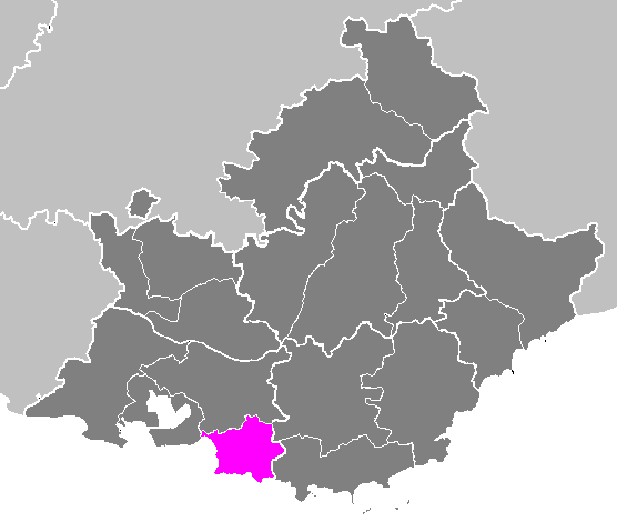
| Descreeption | Locator map of the arrondissement of Istres (before 2018) in Bouches-du-Rhône and Provence-Alpes-Côte d'Azur (France). | ||
| Date | |||
| Soorce | Ain wirk | ||
| Author | M.Minderhoud | ||
| Permission (Reuisin this file) |
|
File history
Clap oan ae date/time fer tae see the file aes it kithed at that time.
| Date/Time | Thummnail | Dimensions | Uiser | Comment | |
|---|---|---|---|---|---|
| current | 17:59, 22 November 2006 | | 556 × 478 (17 KB) | Michiel1972 | {{Information |Description= Maps of arrondissements and cantons of France: {{subst:PAGENAME}} |Source= |Date=november 2006 |Author= M.Minderhoud |Permission= {{PD-self}} |other_versions= }} [[Category:Maps of arrondisseme |
Eimage airtins
The follaein pages airts tae this image:
Global file uisage
The follaein ither wikis uise this file:
- Uisage on arz.wikipedia.org
- Uisage on cs.wikipedia.org
- Uisage on es.wikipedia.org
- Uisage on fa.wikipedia.org
- Uisage on hy.wikipedia.org
- Uisage on ia.wikipedia.org
- Uisage on id.wikipedia.org
- Uisage on it.wikipedia.org
- Uisage on kk.wikipedia.org
- Uisage on lb.wikipedia.org
- Uisage on mt.wikipedia.org
- Uisage on nl.wikipedia.org
- Uisage on ru.wikipedia.org
- Uisage on sk.wikipedia.org
- Uisage on www.wikidata.org