
File:Argentina Buenos Aires City location map.svg

Size of this PNG preview of this SVG file: 589 × 600 pixels. Ither resolutions: 236 × 240 pixels | 471 × 480 pixels | 754 × 768 pixels | 1,006 × 1,024 pixels | 2,011 × 2,048 pixels | 1,152 × 1,173 pixels.
Oreeginal file (SVG file, nominallie 1,152 × 1,173 pixels, file size: 54 KB)
Ootline
| Descreeption |
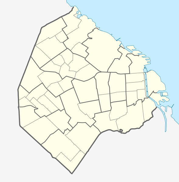
Quadratische Plattkarte. Geographische Begrenzung der Karte:
Equirectangular projection. Geographic limits of the map:
|
| Date | |
| Soorce |
Ain wirk using |
| Author | NordNordWest and OpenStreetMap contributors |

|
This map has been made or improved in the German Kartenwerkstatt (Map Lab). You can propose maps to improve as well.
|
Licensin
This file is licensed under the Creative Commons Attribution-Share Alike 2.0 Generic license.
- Ye are free:
- tae share – tae copy, distribute an transmit the wirk
- tae remix – tae adapt the wirk
- Unner the follaein condeetions:
- attribution – Ye must attribute the wirk in the manner specified bi the author or licensor (but nae in ony way that suggests that thay endorse ye or yer uise o the wirk).
- share alik – If ye alter, transform, or big upon this wirk, ye mey distribute the resultin wirk anly unner the same or seemilar license tae this ane.
File history
Clap oan ae date/time fer tae see the file aes it kithed at that time.
| Date/Time | Thummnail | Dimensions | Uiser | Comment | |
|---|---|---|---|---|---|
| current | 11:33, 17 Mairch 2012 | | 1,152 × 1,173 (54 KB) | NordNordWest | == {{int:filedesc}} == {{Information |Description= {{de|Positionskarte der Stadt Buenos Aires, Argentinien}} Quadratische Plattkarte. Geographische Begrenzung der Karte: * N: 34.5205861° S * S: 34.7143027° S *... |
Eimage airtins
The follaein pages airts tae this image:
Global file uisage
The follaein ither wikis uise this file:
- Uisage on ar.wikipedia.org
- Uisage on ast.wikipedia.org
- Uisage on ba.wikipedia.org
- Uisage on bs.wikipedia.org
- Uisage on ceb.wikipedia.org
- Uisage on da.wikipedia.org
- Uisage on de.wikipedia.org
- Estadio José Amalfitani
- La Bombonera
- Estadio Monumental Antonio Vespucio Liberti
- Estadio Islas Malvinas
- Estadio Arquitecto Ricardo Etcheverry
- República Cromañón
- Wikipedia:Kartenwerkstatt/Positionskarten/Südamerika
- Zoo Buenos Aires
- Bahnhof Buenos Aires Federico Lacroze
- Bahnhof Buenos Aires Plaza Constitución
- Historisches Nationalmuseum (Argentinien)
- Buenos Aires Lawn Tennis Club
- Estadio Pedro Bidegain
- Kavanagh-Gebäude
- Estadio Nueva España
- Estadio Tomás Adolfo Ducó
- Vorlage:Positionskarte Argentinien Stadt Buenos Aires
- SAFICO-Gebäude
- Puerto Nuevo (Buenos Aires)
- Torre Espacial
- Puente de la Mujer
- Uisage on en.wikipedia.org
- 1978 FIFA World Cup
- Constitución railway station
- User:Onceler/Sandbox14
- Retiro railway station
- Once railway station
- Buenos Aires Belgrano Sur Line railway station
- Federico Lacroze railway station
- Module:Location map/data/Argentina Buenos Aires/doc
- Estrugamou Building
- 8N
- Hospital Muñiz
- Faena Arts Center
- Central Station (Buenos Aires)
- Casa Amarilla
- Del Parque railway station
- Retiro Belgrano railway station
- Retiro Mitre railway station
- Retiro San Martín railway station
- Module:Location map/data/Argentina Buenos Aires
View mair global usage o this file.