
File:Algeria 01 Wilaya locator map-2009.svg

Size of this PNG preview of this SVG file: 508 × 500 pixels. Ither resolutions: 244 × 240 pixels | 488 × 480 pixels | 780 × 768 pixels | 1,040 × 1,024 pixels | 2,081 × 2,048 pixels.
Oreeginal file (SVG file, nominallie 508 × 500 pixels, file size: 70 KB)
Ootline
| Descreeption | |||
| Date | |||
| Soorce |
Ain wirk
|
||
| Author | Eric Gaba (Sting - fr:Sting) | ||
| Permission (Reuisin this file) |
|
Licensin
I, the copyright holder of this work, hereby publish it under the following licenses:
This file is licensed unner the Creative Commons Attribution-Share Alike 3.0 Unported license.
- Ye are free:
- tae share – tae copy, distribute an transmit the wirk
- tae remix – tae adapt the wirk
- Unner the follaein condeetions:
- attribution – Ye must attribute the wirk in the manner specified bi the author or licensor (but nae in ony way that suggests that thay endorse ye or yer uise o the wirk).
- share alik – If ye alter, transform, or big upon this wirk, ye mey distribute the resultin wirk anly unner the same or seemilar license tae this ane.

|
Permission is grantit tae copy, distribute an/or modify this document unner the terms o the GNU Free Documentation License, Version 1.2 or ony later version published bi the Free Software Foundation; wi no Invariant Sections, no Front-Cover Texts, an no Back-Cover Texts. A copy o the license is includit in the section enteetled GNU Free Documentation License. |
Ye mey select the license o yer choice.
File history
Clap oan ae date/time fer tae see the file aes it kithed at that time.
| Date/Time | Thummnail | Dimensions | Uiser | Comment | |
|---|---|---|---|---|---|
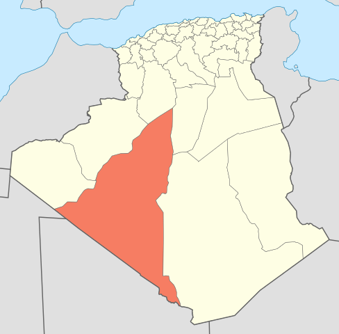
| current | 16:23, 19 November 2009 | | 508 × 500 (70 KB) | Sting | {{Information |Description={{en|Locator map of the Adrar Province, Algeria, as in 2009.}} {{fr|Carte de localisation de la Wilaya d'Adrar, Algérie, telle qu'en 2009.}} |Source |
Eimage airtins
The'r nae pages airts tae this eimage.