
File:4-Région-fr-Bourgogne-carte-R.jpg
Nae heier resolution available.
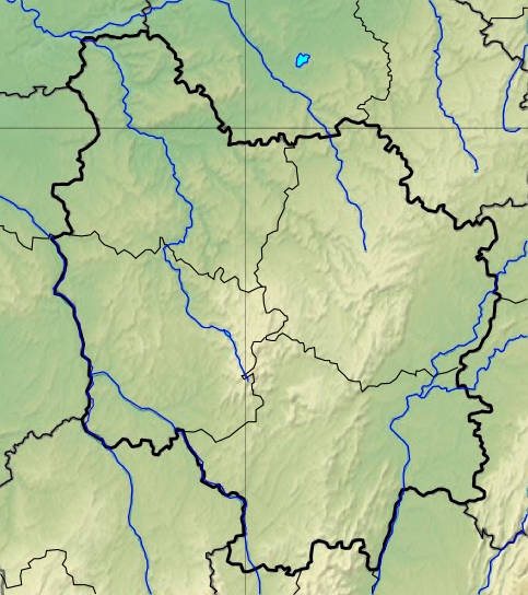
4-Région-fr-Bourgogne-carte-R.jpg (483 × 544 pixels, file size: 209 KB, MIME type: image/jpeg)
| Descreeption | |||||
| Date | 11 December 2012 (upload date) | ||||
| Soorce | Decoupage dans carte de France de Sting | ||||
| Author | Wikisoft* @@@-fr 09:31, 11 December 2012 (UTC) | ||||
| Permission (Reuisin this file) |
|
||||
| Other versions |

File history
Clap oan ae date/time fer tae see the file aes it kithed at that time.
| Date/Time | Thummnail | Dimensions | Uiser | Comment | |
|---|---|---|---|---|---|
| current | 09:31, 11 December 2012 | | 483 × 544 (209 KB) | Wikisoft* | {{Information |Description ={{fr|1=*Carte Bourgogne Relief *fr:Modèle:Géolocalisation/Bourgogne}} |Source =Decoupage dans carte de France de Sting |Author =~~~~ |Date =11/12/2012 |Permission ={{GFDL-GMT}} |ot... |
Eimage airtins
The follaein pages airts tae this image:
Global file uisage
The follaein ither wikis uise this file:
- Uisage on ar.wikipedia.org
- Uisage on bg.wikipedia.org
- Uisage on ca.wikipedia.org
- Uisage on ceb.wikipedia.org
- Uisage on el.wikipedia.org
- Uisage on en.wikipedia.org
- Uisage on es.wikipedia.org
- Uisage on fr.wikipedia.org
- Siège d'Alésia
- Tombe de Vix
- Vignoble de Bourgogne
- Circuit de Nevers Magny-Cours
- Abbaye de Cîteaux
- Abbaye de Vauluisant
- Abbaye d'Oigny
- Abbaye de Pontigny
- Abbaye de Fontenay
- Bataille de Cravant
- Abbaye de la Bussière
- Clux
- La Villeneuve (Saône-et-Loire)
- Grottes d'Arcy-sur-Cure
- Abbaye Notre-Dame du Miroir
- Lac de Pannecière
- Circuit de Dijon-Prenois
- Chartreuse de Champmol
- Rosoy (Yonne)
- Abbaye de La Ferté
- Forêt de Saint-Germain (Yonne)
- Lac du Bourdon
- Abbaye de Reigny
- Site archéologique des Fontaines Salées
- Lac de Chaumeçon
- Lac de Saint-Agnan
- Théâtre gallo-romain des Bardiaux
- Étangs de Vaux et de Baye
- Abbaye Notre-Dame de Tart
- Forêt des Bertranges
- Modèle:Géolocalisation/Bourgogne
View mair global usage o this file.