
File:Ул. Берзпилс, Балви (P47).jpg

Size o this luikower: 800 × 600 pixels. Ither resolutions: 320 × 240 pixels | 640 × 480 pixels | 1,024 × 768 pixels | 1,280 × 960 pixels | 2,560 × 1,920 pixels | 4,320 × 3,240 pixels.
Oreeginal file (4,320 × 3,240 pixels, file size: 6.96 MB, MIME type: image/jpeg)
.jpg)
Ootline
| Descreeption |
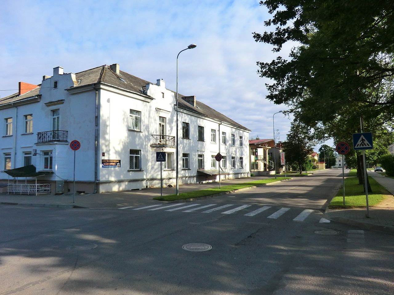
English: Bērzpils Street in Balvi (Road P47) Latviešu: Bērzpils iela Balvos (autoceļš P47) |
| Date | |
| Soorce | Panoramio |
| Author | Anakes |
| Camera location | | View this and other nearby images on: OpenStreetMap |
|---|
.jpg¶ms=057.130125_N_0027.267170_E_globe:Earth_type:camera_heading:326.00&language=sco)
Licensin
This file is licensed under the Creative Commons Attribution 3.0 Unported license.
- Ye are free:
- tae share – tae copy, distribute an transmit the wirk
- tae remix – tae adapt the wirk
- Unner the follaein condeetions:
- attribution – Ye must attribute the wirk in the manner specified bi the author or licensor (but nae in ony way that suggests that thay endorse ye or yer uise o the wirk).
| This image, which was originally posted to Panoramio, was reviewed on 12 October 2012 by the administrator or trusted user Morning Sunshine, who confirmed that it was available on Panoramio under the above license on that date. |
File history
Clap oan ae date/time fer tae see the file aes it kithed at that time.
| Date/Time | Thummnail | Dimensions | Uiser | Comment | |
|---|---|---|---|---|---|
| current | 16:32, 11 October 2012 | | 4,320 × 3,240 (6.96 MB) | Kikos | User created page with UploadWizard |
Eimage airtins
The follaein pages airts tae this image:
Global file uisage
The follaein ither wikis uise this file:
- Uisage on ar.wikipedia.org
- Uisage on bat-smg.wikipedia.org
- Uisage on be-tarask.wikipedia.org
- Uisage on be.wikipedia.org
- Uisage on bg.wikipedia.org
- Uisage on ca.wikipedia.org
- Uisage on ceb.wikipedia.org
- Uisage on da.wikipedia.org
- Uisage on de.wikipedia.org
- Uisage on dsb.wikipedia.org
- Uisage on el.wikipedia.org
- Uisage on en.wikipedia.org
- Uisage on eo.wikipedia.org
- Uisage on es.wikipedia.org
- Uisage on et.wikipedia.org
- Uisage on fa.wikipedia.org
- Uisage on fi.wikipedia.org
- Uisage on fr.wikipedia.org
- Uisage on he.wikipedia.org
- Uisage on hu.wikipedia.org
- Uisage on hy.wikipedia.org
- Uisage on ko.wikipedia.org
- Uisage on lt.wikipedia.org
- Uisage on lv.wikipedia.org
- Uisage on mdf.wikipedia.org
- Uisage on mrj.wikipedia.org
- Uisage on nl.wikipedia.org
- Uisage on pl.wikipedia.org
- Uisage on pl.wikivoyage.org
- Uisage on ru.wikipedia.org
- Uisage on sr.wikipedia.org
- Uisage on ur.wikipedia.org
- Uisage on www.wikidata.org
- Uisage on xmf.wikipedia.org
- Uisage on zh.wikipedia.org
.jpg)