
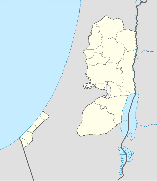
File:West Bank and Gaza Strip location map.svg

Size of this PNG preview of this SVG file: 520 × 599 pixels. Ither resolutions: 208 × 240 pixels | 417 × 480 pixels | 667 × 768 pixels | 889 × 1,024 pixels | 1,778 × 2,048 pixels | 639 × 736 pixels.
Oreeginal file (SVG file, nominallie 639 × 736 pixels, file size: 98 KB)

|
The boundaries on this map show the de facto situation. This is just one of several different views on the subject (see COM:NPOV). |
Ootline
| Descreeption |
Deutsch: Positionskarte der Palästinensische Autonomiegebiete bzw. von Westjordanland und Gazastreifen
Quadratische Plattkarte, N-S-Streckung 115 %. Geographische Begrenzung der Karte:
Equirectangular projection, N/S stretching 115%. Geographic limits of the map:
|
||
| Date | |||
| Soorce |
Own work using:
|
||
| Author | NordNordWest | ||
| Other versions |
Derivative works of this file: |
||
| SVG genesis | This W3C-invalid map was created with Adobe Illustrator, and with Inkscape.
|

Licensin
I, the copyright holder of this work, hereby publish it under the following licenses:

|
Permission is grantit tae copy, distribute an/or modify this document unner the terms o the GNU Free Documentation License, Version 1.2 or ony later version published bi the Free Software Foundation; wi no Invariant Sections, no Front-Cover Texts, an no Back-Cover Texts. A copy o the license is includit in the section enteetled GNU Free Documentation License. |
This file is licensed unner the Creative Commons Attribution-Share Alike 3.0 Unported license.
- Ye are free:
- tae share – tae copy, distribute an transmit the wirk
- tae remix – tae adapt the wirk
- Unner the follaein condeetions:
- attribution – Ye must attribute the wirk in the manner specified bi the author or licensor (but nae in ony way that suggests that thay endorse ye or yer uise o the wirk).
- share alik – If ye alter, transform, or big upon this wirk, ye mey distribute the resultin wirk anly unner the same or seemilar license tae this ane.
Ye mey select the license o yer choice.
File history
Clap oan ae date/time fer tae see the file aes it kithed at that time.
| Date/Time | Thummnail | Dimensions | Uiser | Comment | |
|---|---|---|---|---|---|
| current | 11:35, 28 Apryle 2009 | | 639 × 736 (98 KB) | NordNordWest | area of West Bank back to correct position |
| 02:02, 28 Apryle 2009 |  | 639 × 736 (109 KB) | Fjmustak | 0.85px solid governorate lines (consistent with Israel, Jordan, Lebanon, etc...) | |
| 18:58, 22 Apryle 2009 |  | 639 × 736 (98 KB) | NordNordWest | corr | |
| 02:02, 17 Apryle 2009 |  | 638 × 734 (119 KB) | Fjmustak | Added governorate boundaries | |
| 18:30, 29 November 2008 |  | 638 × 734 (103 KB) | NordNordWest | ||
| 20:05, 19 November 2008 |  | 638 × 734 (118 KB) | NordNordWest | {{Information |Description= {{de|Positionskarte der Palästinensischen Autonomiegebiete bzw. von Westjordanland und Gazastreifen}} Quadratische Plattkarte, N-S-Streckung 115 %. Geographische Begrenzung der Karte: |
Eimage airtins
The follaein pages airts tae this image:
Global file uisage
The follaein ither wikis uise this file:
- Uisage on af.wikipedia.org
- Uisage on als.wikipedia.org
- Uisage on an.wikipedia.org
- Uisage on ar.wikipedia.org
- Uisage on az.wikipedia.org
- Uisage on ba.wikipedia.org
- Uisage on be-tarask.wikipedia.org
- Uisage on be.wikipedia.org
- Uisage on bg.wikipedia.org
- Uisage on bn.wikipedia.org
- Uisage on ce.wikipedia.org
- Uisage on ckb.wikipedia.org
- Uisage on cs.wikipedia.org
View mair global usage o this file.