
File:US map - states-fr.png

Size o this luikower: 800 × 542 pixels. Ither resolutions: 320 × 217 pixels | 640 × 434 pixels | 1,024 × 694 pixels | 1,480 × 1,003 pixels.
Oreeginal file (1,480 × 1,003 pixels, file size: 304 KB, MIME type: image/png)
Ootline

|
File:Map of USA with state names fr.svg is a vector version o this file. It should be uised in place o this raster image when nae inferior.
File:US map - states-fr.png → File:Map of USA with state names fr.svg
For mair information, see Help:SVG. |
 |
Licensin
This work is in the public domain in the United States because it is a work prepared by an officer or employee of the United States Government as part of that person’s official duties under the terms of Title 17, Chapter 1, Section 105 of the US Code.
Note: This only applies to original works of the Federal Government and not to the work of any individual U.S. state, territory, commonwealth, county, municipality, or any other subdivision. This template also does not apply to postage stamp designs published by the United States Postal Service since 1978. (See § 313.6(C)(1) of Compendium of U.S. Copyright Office Practices). It also does not apply to certain US coins; see The US Mint Terms of Use.
|
 | |
| This file has been identified as being free of known restrictions under copyright law, including all related and neighboring rights. | ||
File history
Clap oan ae date/time fer tae see the file aes it kithed at that time.
| Date/Time | Thummnail | Dimensions | Uiser | Comment | |
|---|---|---|---|---|---|
| current | 05:50, 24 Februar 2006 | | 1,480 × 1,003 (304 KB) | Sting | Colour correction for the seas |
| 00:40, 3 Februar 2006 |  | 1,480 × 1,003 (303 KB) | Sting | forgotten Canada | |
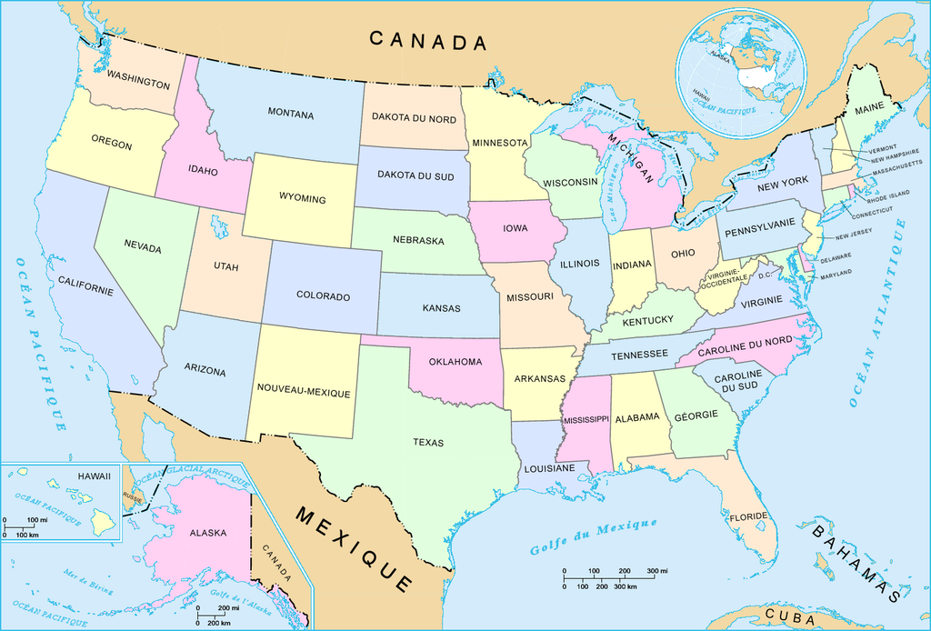
| 21:58, 2 Februar 2006 |  | 1,480 × 1,003 (301 KB) | Sting | French-version map of the States of the United States. For the English version, see : Image:US_map_-_states.png. * '''Réalisée par :''' US Department of Interior * '''Source :''' National Atlas of the United States : http://nationalatlas.gov |
Eimage airtins
The'r nae pages airts tae this eimage.
Global file uisage
The follaein ither wikis uise this file:
- Uisage on fr.wikipedia.org
- Uisage on nl.wiktionary.org