
File:Tajikistan location map.svg

Size of this PNG preview of this SVG file: 791 × 600 pixels. Ither resolutions: 317 × 240 pixels | 633 × 480 pixels | 1,013 × 768 pixels | 1,280 × 970 pixels | 2,560 × 1,941 pixels | 1,191 × 903 pixels.
Oreeginal file (SVG file, nominallie 1,191 × 903 pixels, file size: 206 KB)
Ootline
| Descreeption |
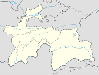
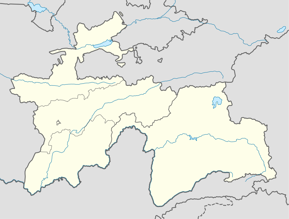
Deutsch: Positionskarte von Tadschikistan
Quadratische Plattkarte, N-S-Streckung 130 %. Geographische Begrenzung der Karte:
English: Location map of Tajikistan
Equirectangular projection, N/S stretching 130 %. Geographic limits of the map:
|
| Date | |
| Soorce |
own work, using
|
| Author | NordNordWest |

|
This map has been made or improved in the German Kartenwerkstatt (Map Lab). You can propose maps to improve as well.
|
Licensin
I, the copyright holder of this work, hereby publish it under the following licenses:

|
Permission is grantit tae copy, distribute an/or modify this document unner the terms o the GNU Free Documentation License, Version 1.2 or ony later version published bi the Free Software Foundation; wi no Invariant Sections, no Front-Cover Texts, an no Back-Cover Texts. A copy o the license is includit in the section enteetled GNU Free Documentation License. |
This file is licensed unner the Creative Commons Attribution-Share Alike 3.0 Unported license.
- Ye are free:
- tae share – tae copy, distribute an transmit the wirk
- tae remix – tae adapt the wirk
- Unner the follaein condeetions:
- attribution – Ye must attribute the wirk in the manner specified bi the author or licensor (but nae in ony way that suggests that thay endorse ye or yer uise o the wirk).
- share alik – If ye alter, transform, or big upon this wirk, ye mey distribute the resultin wirk anly unner the same or seemilar license tae this ane.
Ye mey select the license o yer choice.
File history
Clap oan ae date/time fer tae see the file aes it kithed at that time.
| Date/Time | Thummnail | Dimensions | Uiser | Comment | |
|---|---|---|---|---|---|
| current | 09:38, 16 December 2013 | | 1,191 × 903 (206 KB) | NordNordWest | Reverted to version as of 16:56, 21 October 2013; not according to the global location map scheme |
| 09:37, 16 December 2013 |  | 1,886 × 1,432 (269 KB) | Transoxsiana | 1 | |
| 16:56, 21 October 2013 |  | 1,191 × 903 (206 KB) | NordNordWest | upd | |
| 16:53, 23 October 2008 |  | 1,191 × 905 (324 KB) | NordNordWest | ||
| 21:32, 26 September 2008 |  | 1,191 × 905 (325 KB) | NordNordWest | {{Information |Description= {{de|Positionskarte von Tadschikistan}} Quadratische Plattkarte, N-S-Streckung 130 %. Geographische Begrenzung der Karte: * N: 41.3° N * S: 36.4° N * W: 67.1° O * O: 75.5° O {{en|Location map of [[:en: |
Eimage airtins
The'r nae pages airts tae this eimage.
Global file uisage
The follaein ither wikis uise this file:
- Uisage on be-tarask.wikipedia.org
- Uisage on bg.wikipedia.org
- Uisage on bn.wikipedia.org
- Uisage on bs.wikipedia.org
- Uisage on ce.wikipedia.org
- Uisage on cs.wikipedia.org
- Uisage on da.wikipedia.org
- Uisage on de.wikipedia.org
- Uisage on el.wikipedia.org
- Uisage on en.wikipedia.org
- Uisage on eo.wikipedia.org
- Uisage on es.wikipedia.org
- Uisage on et.wikipedia.org
- Uisage on eu.wikipedia.org
- Uisage on fa.wikipedia.org
- Uisage on fr.wikipedia.org
- Uisage on he.wikivoyage.org
- Uisage on hu.wikipedia.org
- Uisage on id.wikipedia.org
- Uisage on io.wikipedia.org
- Uisage on ka.wikipedia.org
- Uisage on kbd.wikipedia.org
- Uisage on kk.wikipedia.org
- Uisage on lez.wikipedia.org
View mair global usage o this file.