
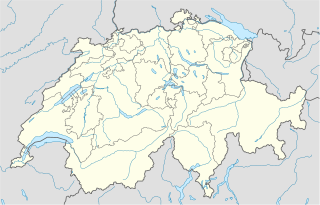
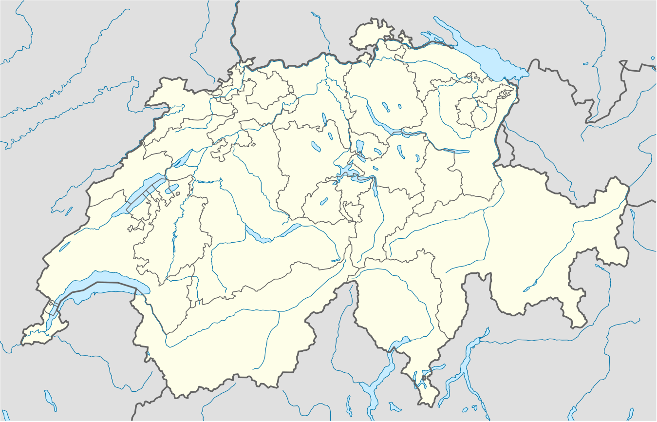
File:Switzerland location map.svg

Size of this PNG preview of this SVG file: 800 × 513 pixels. Ither resolutions: 320 × 205 pixels | 640 × 410 pixels | 1,024 × 657 pixels | 1,280 × 821 pixels | 2,560 × 1,642 pixels | 1,349 × 865 pixels.
Oreeginal file (SVG file, nominallie 1,349 × 865 pixels, file size: 258 KB)
Ootline
| Descreeption |
Deutsch: Positionskarte der Schweiz
Quadratische Plattkarte, N-S-Streckung 146,138 %. Geographische Begrenzung der Karte:
English: Location map of Switzerland
Equirectangular projection, N/S stretching 146,138 %. Geographic limits of the map:
|
| Date | |
| Soorce |
Ain wirk, using
|
| Author | NordNordWest |
| Other versions |
Derivative works of this file: Location of Battle of Winterthur 1799.svg
|
| SVG genesis | This map was created with unknown tool. | style="margin:0.5em;" | This map has been made or improved in the German Kartenwerkstatt (Map Lab). You can propose maps to improve as well.
|} |
_location_map.svg)


Licensin
I, the copyright holder of this work, hereby publish it under the following license:
This file is licensed unner the Creative Commons Attribution-Share Alike 3.0 Unported license.
- Ye are free:
- tae share – tae copy, distribute an transmit the wirk
- tae remix – tae adapt the wirk
- Unner the follaein condeetions:
- attribution – Ye must attribute the wirk in the manner specified bi the author or licensor (but nae in ony way that suggests that thay endorse ye or yer uise o the wirk).
- share alik – If ye alter, transform, or big upon this wirk, ye mey distribute the resultin wirk anly unner the same or seemilar license tae this ane.
Gallery
-
 relief
 -
 default
 -
 image1
 -
 image2
 -
 relief1
 -
 relief2
 -
 relief3


File history
Clap oan ae date/time fer tae see the file aes it kithed at that time.
| Date/Time | Thummnail | Dimensions | Uiser | Comment | |
|---|---|---|---|---|---|
| current | 22:50, 17 December 2017 | | 1,349 × 865 (258 KB) | Reinhard Kraasch | Verlauf des Doubs korrigiert |
| 09:51, 4 December 2009 |  | 1,349 × 865 (260 KB) | NordNordWest | c | |
| 08:27, 12 August 2009 |  | 1,349 × 888 (255 KB) | NordNordWest | no improvement, no changes without discussion about it | |
| 08:07, 12 August 2009 |  | 1,349 × 888 (260 KB) | Lukasb1992 | borders of cantons | |
| 17:03, 16 Juin 2009 |  | 1,349 × 888 (255 KB) | NordNordWest | {{Information |Description= {{de|Positionskarte der Schweiz}} Quadratische Plattkarte, N-S-Streckung 150 %. Geographische Begrenzung der Karte: * N: 47.9° N * S: 45.75° N * W: 5.8° O * O: 10.7° O {{en|Location map of [[:en:Switzerland| |
Eimage airtins
The'r nae pages airts tae this eimage.
Global file uisage
The follaein ither wikis uise this file:
- Uisage on af.wikipedia.org
- Uisage on am.wikipedia.org
- Uisage on ar.wikipedia.org
- Uisage on arz.wikipedia.org
- Uisage on av.wikipedia.org
- Uisage on az.wikipedia.org
- Bern
- Cenevrə
- Sankt-Morits
- Şablon:Yer xəritəsi İsveçrə
- Sürix
- Qruyer
- Lozanna
- Sitqlogge
- Müqəddəs Ruh kilsəsi (Bern)
- İsveçrə Federal sarayı
- Bil
- Nyon
- Çuq (kanton)
- Bergün
- Bazel
- La-Şo-de-Fon
- Lütsern
- Fluntern qəbiristanlığı
- Davos
- Qraubünden
- Arqau
- Bua-de-Vo qəbiristanlığı
- Vo (kanton)
- Vil (Sankt-Qallen)
- Sankt-Qallen (kanton)
- Lauterbrunnen
- Vintertur
View mair global usage o this file.