
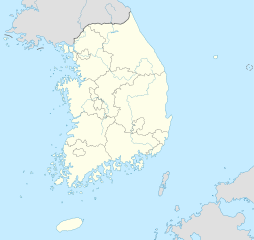
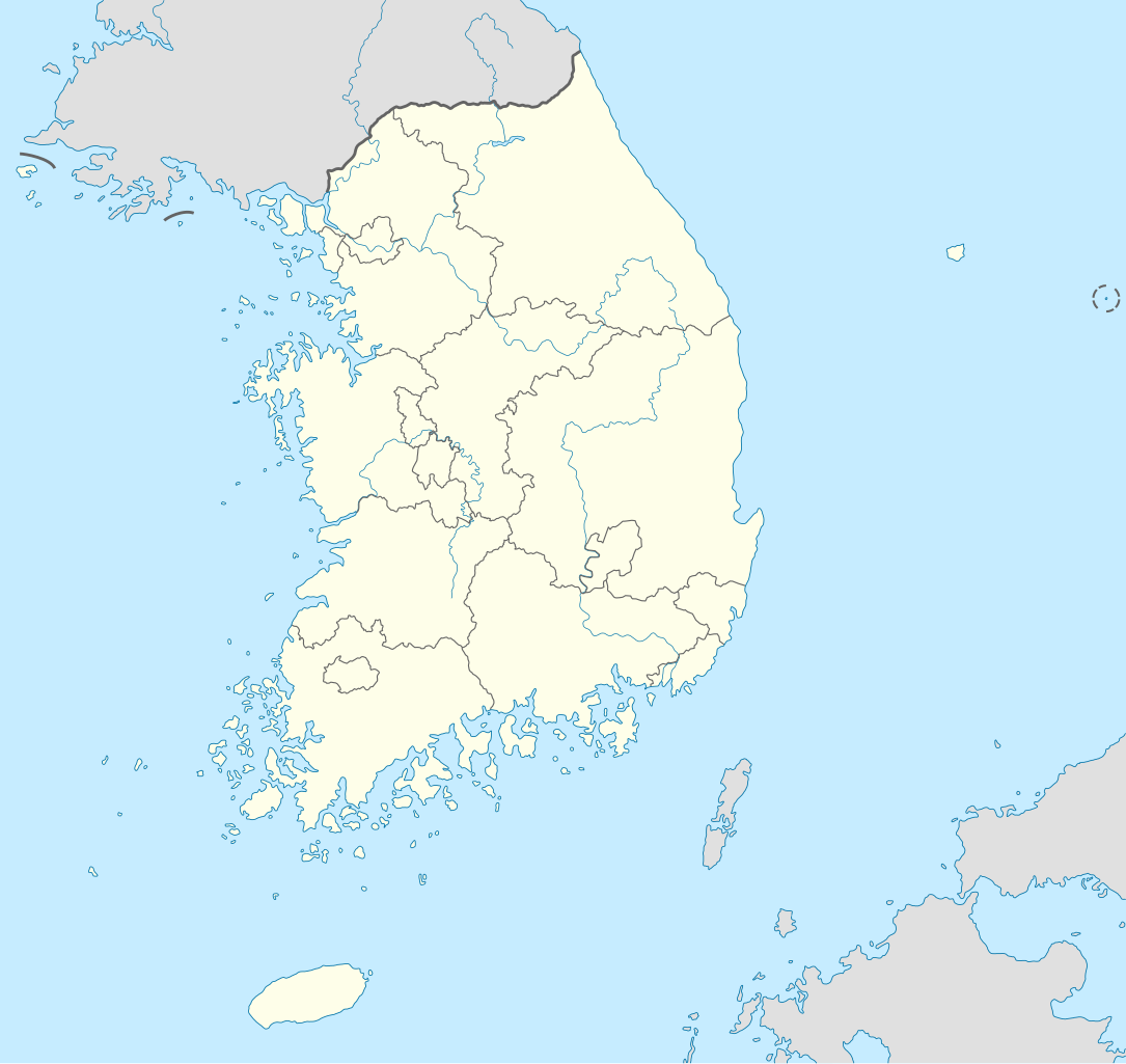
File:South Korea location map.svg

Size of this PNG preview of this SVG file: 635 × 599 pixels. Ither resolutions: 254 × 240 pixels | 509 × 480 pixels | 814 × 768 pixels | 1,085 × 1,024 pixels | 2,171 × 2,048 pixels | 1,772 × 1,672 pixels.
Oreeginal file (SVG file, nominallie 1,772 × 1,672 pixels, file size: 376 KB)
Ootline
| Descreeption |
Deutsch: Positionskarte von Südkorea
Quadratische Plattkarte, N-S-Streckung 120 %. Geographische Begrenzung der Karte:
English: Location map of South Korea
Equirectangular projection, N/S stretching 120 %. Geographic limits of the map:
|
||
| Date | |||
| Soorce |
own work, using
|
||
| Author | NordNordWest | ||
| Other versions |
Derivative works of this file: |
||
| SVG genesis | This locator map was created with Adobe Illustrator.
|

Licensin
I, the copyright holder of this work, hereby publish it under the following licenses:

|
Permission is grantit tae copy, distribute an/or modify this document unner the terms o the GNU Free Documentation License, Version 1.2 or ony later version published bi the Free Software Foundation; wi no Invariant Sections, no Front-Cover Texts, an no Back-Cover Texts. A copy o the license is includit in the section enteetled GNU Free Documentation License. |
This file is licensed unner the Creative Commons Attribution-Share Alike 3.0 Unported license.
- Ye are free:
- tae share – tae copy, distribute an transmit the wirk
- tae remix – tae adapt the wirk
- Unner the follaein condeetions:
- attribution – Ye must attribute the wirk in the manner specified bi the author or licensor (but nae in ony way that suggests that thay endorse ye or yer uise o the wirk).
- share alik – If ye alter, transform, or big upon this wirk, ye mey distribute the resultin wirk anly unner the same or seemilar license tae this ane.
Ye mey select the license o yer choice.
File history
Clap oan ae date/time fer tae see the file aes it kithed at that time.
| Date/Time | Thummnail | Dimensions | Uiser | Comment | |
|---|---|---|---|---|---|
| current | 10:48, 2 Juin 2012 | | 1,772 × 1,672 (376 KB) | Geoarchive | Update Sejong Special Autonomous City |
| 17:48, 24 October 2010 |  | 1,772 × 1,672 (377 KB) | NordNordWest | upd | |
| 20:05, 2 October 2010 |  | 1,559 × 1,672 (349 KB) | NordNordWest | upd | |
| 18:57, 26 August 2008 |  | 1,559 × 1,673 (502 KB) | NordNordWest | {{Information |Description= {{de|Positionskarte von Südkorea}} Quadratische Plattkarte, N-S-Streckung 120 %. Geographische Begrenzung der Karte: * N: 38.9° N * S: 33.0° N * W: 124.5° O * O: 131.1° O {{en|Location map of [[:en:South |
Eimage airtins
The'r nae pages airts tae this eimage.
Global file uisage
The follaein ither wikis uise this file:
- Uisage on as.wikipedia.org
- Uisage on en.wikipedia.org
- Uisage on fr.wikipedia.org
- Uisage on fr.wikinews.org
- Uisage on incubator.wikimedia.org
- Uisage on ko.wikipedia.org
- Uisage on sv.wikipedia.org
- Uisage on zh.wikipedia.org