
File:Pas-de-Calais department location map.svg

Size of this PNG preview of this SVG file: 624 × 599 pixels. Ither resolutions: 250 × 240 pixels | 500 × 480 pixels | 800 × 768 pixels | 1,066 × 1,024 pixels | 2,133 × 2,048 pixels | 1,157 × 1,111 pixels.
Oreeginal file (SVG file, nominallie 1,157 × 1,111 pixels, file size: 311 KB)
Ootline
| Camera location | | View this and other nearby images on: OpenStreetMap |
|---|
| Descreeption |
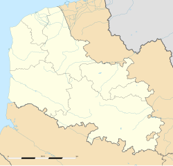
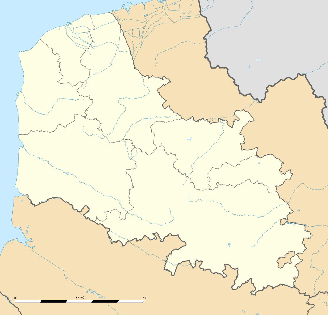
English: Blank administrative map of the department of Pas-de-Calais, France, as in January 2007, for geo-location purpose, with distinct boundaries for regions, departments and arrondissements.
Français : Carte administrative vierge du département du Pas-de-Calais, France, tel qu'en janvier 2007, destinée à la géolocalisation, avec limite distincte des régions, départements et arrondissements. Estimated scale: 1:440,000 (precision: 110 m)
Geographic limits of the map:
|
||
| Date | |||
| Soorce |
Ain wirk
|
||
| Author | Eric Gaba (Sting - fr:Sting) | ||
| Permission (Reuisin this file) |
|
||
| Other versions |
|

Licensin
Eric Gaba, Wikimedia Commons user Sting, the copyright holder of this work, hereby publishes it under the following license:
This file is licensed unner the Creative Commons Attribution-Share Alike 3.0 Unported license.
Attribution: Eric Gaba, Wikimedia Commons user Sting
- Ye are free:
- tae share – tae copy, distribute an transmit the wirk
- tae remix – tae adapt the wirk
- Unner the follaein condeetions:
- attribution – Ye must attribute the wirk in the manner specified bi the author or licensor (but nae in ony way that suggests that thay endorse ye or yer uise o the wirk).
- share alik – If ye alter, transform, or big upon this wirk, ye mey distribute the resultin wirk anly unner the same or seemilar license tae this ane.
File history
Clap oan ae date/time fer tae see the file aes it kithed at that time.
| Date/Time | Thummnail | Dimensions | Uiser | Comment | |
|---|---|---|---|---|---|
| current | 15:37, 3 August 2011 | | 1,157 × 1,111 (311 KB) | Sting | == {{int:filedesc}} == {{Location|50|30|00|N|02|22|30|E|scale:500000}} {{Information |Description={{en|Blank administrative map of the department of Pas-de-Calais, France, as in January 2007, for geo-location purpose, with distinct b |
Eimage airtins
The follaein pages airts tae this image:
Global file uisage
The follaein ither wikis uise this file:
- Uisage on als.wikipedia.org
- Uisage on ar.wikipedia.org
- Uisage on ceb.wikipedia.org
- Uisage on de.wikipedia.org
- Uisage on en.wikipedia.org
- Uisage on eo.wikipedia.org
- Boulogne-sur-Mer
- Calais
- Arras
- Saint-Omer (Pas-de-Calais)
- Béthune
- Ŝablono:Situo sur mapo Francio Pas-de-Calais
- Hénin-Beaumont
- Liévin
- Montreuil (Pas-de-Calais)
- Stadiono Bollaert-Delelis
- Sangatte
- Mazingarbe
- Vitry-en-Artois
- Wizernes
- Arras (stacidomo)
- Calais - Fréthun (stacidomo)
- Fréthun
- Boulogne-Ville (stacidomo)
- Boulogne-Tintelleries (stacidomo)
- Boulogne-Maritime (stacidomo)
- Lens (stacidomo)
- Béthune (stacidomo)
- Calais-Ville (stacidomo)
- Calais-Maritime (stacidomo)
- Étaples - Le Touquet (stacidomo)
- Étaples
- Saint-Omer (stacidomo)
- Rang-du-Fliers - Verton - Berck (stacidomo)
- Verton
- Berck
- Rang-du-Fliers
- Saint-Pol-sur-Ternoise (stacidomo)
- Saint-Pol-sur-Ternoise
- Montreuil-sur-Mer (stacidomo)
View mair global usage o this file.