
File:Outline Map of Rostov Oblast.svg

Size of this PNG preview of this SVG file: 519 × 599 pixels. Ither resolutions: 208 × 240 pixels | 416 × 480 pixels | 665 × 768 pixels | 887 × 1,024 pixels | 1,775 × 2,048 pixels | 1,000 × 1,154 pixels.
Oreeginal file (SVG file, nominallie 1,000 × 1,154 pixels, file size: 107 KB)
Ootline
| Descreeption |
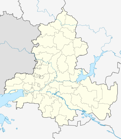
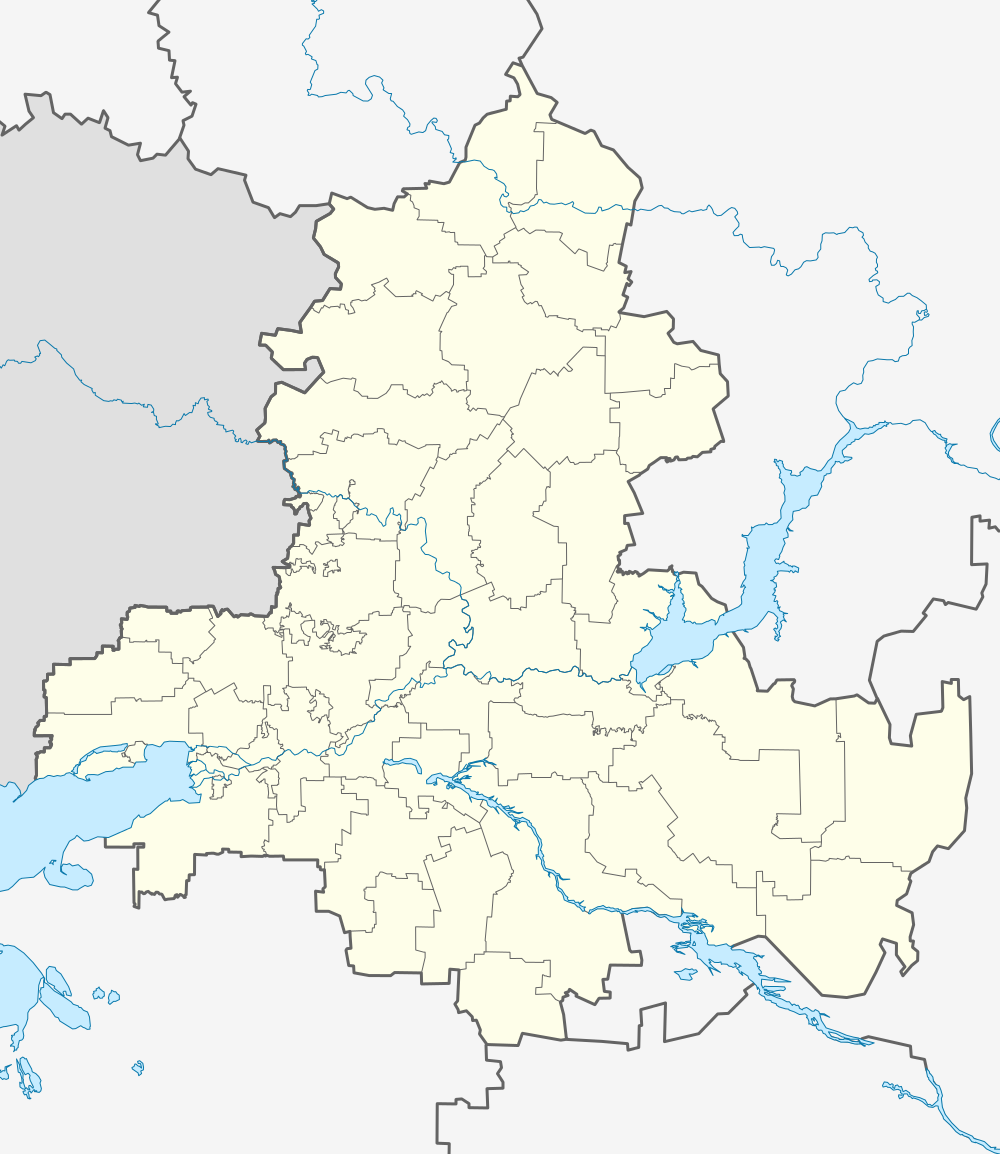
Русский: Позиционная карта Ростовской области Равноугольная проекция, растяжение — 150 %. Координаты краёв:
|
| Date | |
| Soorce |
Ain wirk This W3C-unspecified vector image was created with Inkscape .
|
| Author | Виктор В |
| Other versions |
|

Licensin
| I, the copyright holder of this work, release this work into the public domain. This applies worldwide. In some countries this may not be legally possible; if so: I grant anyone the right to use this work for any purpose, without any conditions, unless such conditions are required by law. |
File history
Clap oan ae date/time fer tae see the file aes it kithed at that time.
| Date/Time | Thummnail | Dimensions | Uiser | Comment | |
|---|---|---|---|---|---|
| current | 13:27, 3 Apryle 2010 | | 1,000 × 1,154 (107 KB) | Виктор В | == {{int:filedesc}} == {{Information |Description={{ru|1=Позиционная карта Ростовской области<br>Равноугольная проекция, растяжение — 150 %. Координаты краёв: * север � |
Eimage airtins
The follaein pages airts tae this image:
Global file uisage
The follaein ither wikis uise this file:
- Uisage on af.wikipedia.org
- Uisage on ar.wikipedia.org
- Uisage on azb.wikipedia.org
- Uisage on az.wikipedia.org
- Uisage on ba.wikipedia.org
- Дондағы Ростов
- Белая Калитва
- Аҡсай таможня заставаһы
- Аҡсай хәрби-тарих музейы
- Вёшенская станицаһы
- Аҙау
- А. А. Дуров музейы
- Ҡалып:ПозКарта Россия Ростовская область
- Дала Ҡурғаны
- Рогожкино (Аҙау районы)
- Гигант (Ростов өлкәһе)
- Урыҫ-әрмән дуҫлығы музейы
- Ериковский
- Ҡарғын
- Донецк (Рәсәй)
- Ҡырым ауылы музейы
- Кружилинский утары
- Ливенцовка ҡәлғәһе
- Старочеркасская станицаһы
- Алексеевск ҡапҡалары
- Кручёная Балка
- Крученая (станция)
- Дала Көсөгө (Ростов өлкәһе)
- Березовка (Ростов өлкәһе)
- Маяҡ (Ростов өлкәһе)
- Кривянская станицаһы
- Колузаево
- Головатовка (Ростов өлкәһе)
- Высочино (ауыл)
- Григорьевка (Азов районы)
- Бирючий (Ростов өлкәһе)
- Галагановка (Ростов өлкәһе)
- Казачий Ерик (Ростов өлкәһе)
- Еремеевка (Ростов өлкәһе)
- Круглое (Ростов өлкәһе)
- Маргаритово (Ростов өлкәһе)
- Мечетка (Ростов өлкәһе)
- Калиновка (Азов районы)
- Кульбакин (Азов районы)
- Задонский (Азов районы)
- Донской (Азов районы)
- Песчанокопское
View mair global usage o this file.