
File:Nord-Pas-de-Calais region location map.svg

Size of this PNG preview of this SVG file: 800 × 543 pixels. Ither resolutions: 320 × 217 pixels | 640 × 434 pixels | 1,024 × 695 pixels | 1,280 × 868 pixels | 2,560 × 1,736 pixels | 1,576 × 1,069 pixels.
Oreeginal file (SVG file, nominallie 1,576 × 1,069 pixels, file size: 515 KB)
Ootline
| Camera location | | View this and other nearby images on: OpenStreetMap |
|---|
| Descreeption |
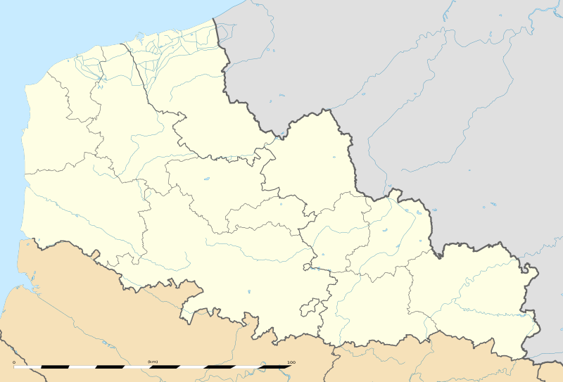
English: Blank administrative map of the region of Nord-Pas-de-Calais, France, as in January 2007, for geo-location purpose, with distinct boundaries for regions, departments and arrondissements.
Français : Carte administrative vierge de la région Nord-Pas-de-Calais, France, telle qu'en janvier 2007, destinée à la géolocalisation, avec limite distincte des régions, départements et arrondissements.
Español: Antigua región de Francia que, con su fusión con la región de Picardía, forma, desde el 1 de enero de 2016, la región de Alta Francia. Estimated scale: 1:520,000 (precision: 130 m)
Geographic limits of the map:
|
||
| Date | |||
| Soorce |
Ain wirk |
||
| Author | Eric Gaba (Sting - fr:Sting) | ||
| Permission (Reuisin this file) |
|
||
| Other versions |
|

Licensin
Eric Gaba, Wikimedia Commons user Sting, the copyright holder of this work, hereby publishes it under the following license:
This file is licensed unner the Creative Commons Attribution-Share Alike 3.0 Unported license.
Attribution: Eric Gaba, Wikimedia Commons user Sting
- Ye are free:
- tae share – tae copy, distribute an transmit the wirk
- tae remix – tae adapt the wirk
- Unner the follaein condeetions:
- attribution – Ye must attribute the wirk in the manner specified bi the author or licensor (but nae in ony way that suggests that thay endorse ye or yer uise o the wirk).
- share alik – If ye alter, transform, or big upon this wirk, ye mey distribute the resultin wirk anly unner the same or seemilar license tae this ane.
File history
Clap oan ae date/time fer tae see the file aes it kithed at that time.
| Date/Time | Thummnail | Dimensions | Uiser | Comment | |
|---|---|---|---|---|---|
| current | 22:06, 2 August 2011 | | 1,576 × 1,069 (515 KB) | Sting | == {{int:filedesc}} == {{Location|50|31|30|N|02|54|00|E|scale:500000}} {{Information |Description={{en|Blank administrative map of the region of Nord-Pas-de-Calais, France, as in January 2007, for geo-location purpose, with dist |
Eimage airtins
The follaein pages airts tae this image:
Global file uisage
The follaein ither wikis uise this file:
- Uisage on ar.wikipedia.org
- Uisage on be.wikipedia.org
- Uisage on bg.wikipedia.org
- Uisage on ceb.wikipedia.org
- Uisage on de.wikipedia.org
- Uisage on el.wikipedia.org
- Uisage on en.wikipedia.org
- Uisage on eo.wikipedia.org
- Uisage on es.wikipedia.org
- Bosque de Arenberg
- Carrefour de l'Arbre
- Mons-en-Pévèle (sector de pavé)
- Sinagoga de Lille
- Plantilla:Mapa de localización de Norte-Paso de Calais
- Basílica de Nuestra Señora de la Inmaculada Concepción de Boulogne-sur-Mer
- Beffroi de Dunkerque
- Basílica catedral de Nuestra Señora y San Vaast (Arrás)
- Tramo de Roubaix
- Uisage on fa.wikipedia.org
- Uisage on fo.wikipedia.org
- Uisage on fr.wikipedia.org
- Université du Littoral-Côte-d'Opale
- Racing Club de Lens
- Catastrophe de Courrières
- Stade Grimonprez-Jooris
- Stade Bollaert-Delelis
- Stade Henri-Jooris
- Stadium Lille Métropole
- Salle du Hainaut
- Quatre Jours de Dunkerque 2006
- Stade Nungesser
- Stades de Flandres
- Liste des commanderies templières dans le Nord-Pas-de-Calais
- Stade Marcel-Tribut
- Championnat de France de football de deuxième division 1937-1938
- Hippodrome de la Canche
- Hippodrome des Hauts-Blancs-Monts
- Stade Pierre-Mauroy
View mair global usage o this file.