
File:Niger location map.svg

Size of this PNG preview of this SVG file: 792 × 600 pixels. Ither resolutions: 317 × 240 pixels | 634 × 480 pixels | 1,014 × 768 pixels | 1,280 × 970 pixels | 2,560 × 1,939 pixels | 1,006 × 762 pixels.
Oreeginal file (SVG file, nominallie 1,006 × 762 pixels, file size: 101 KB)
Ootline
| Descreeption |
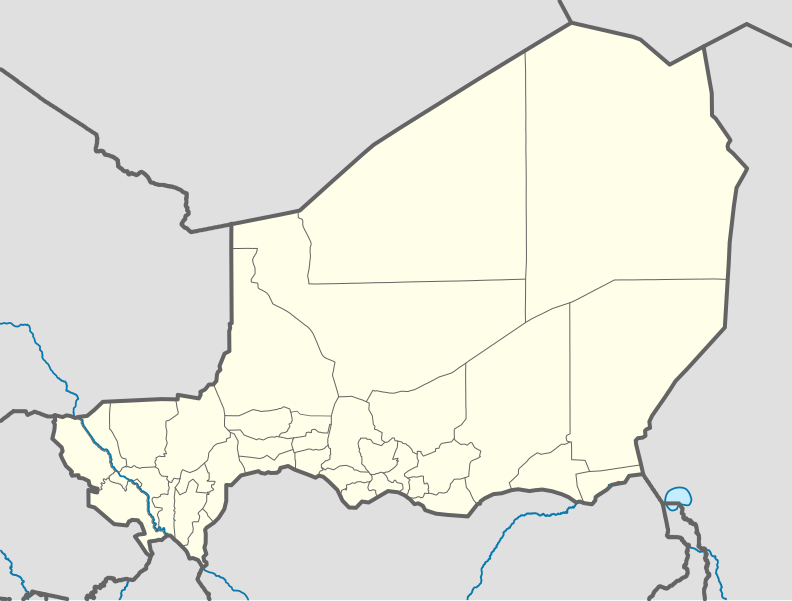
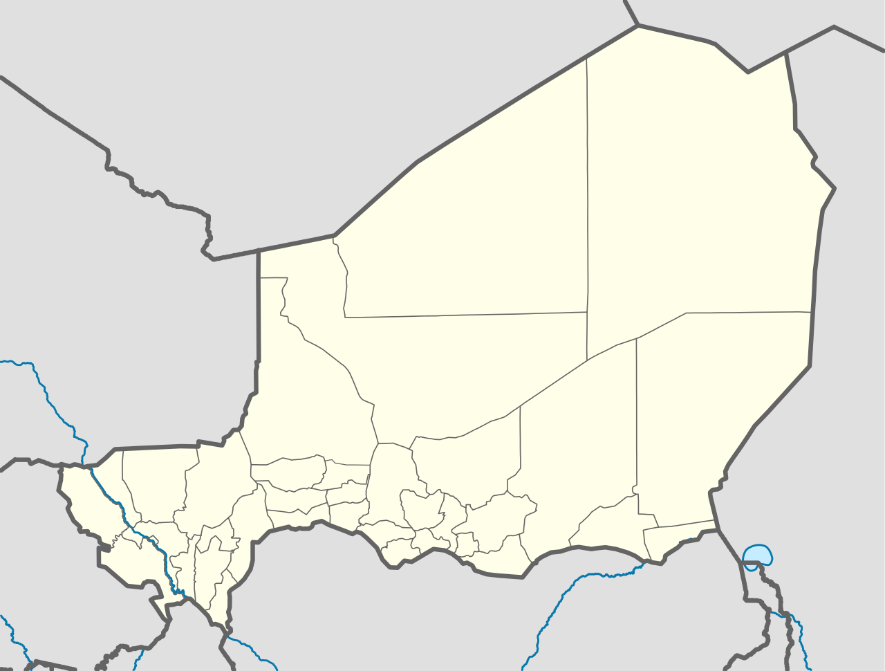
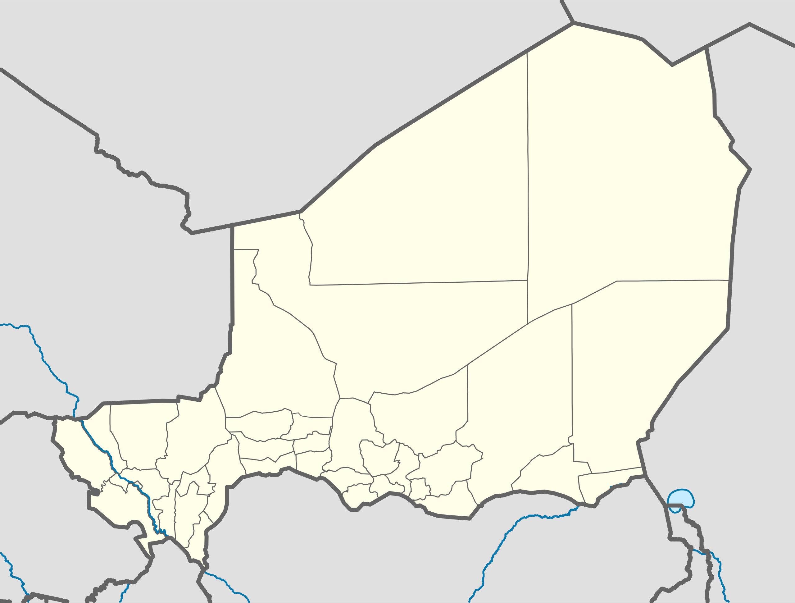
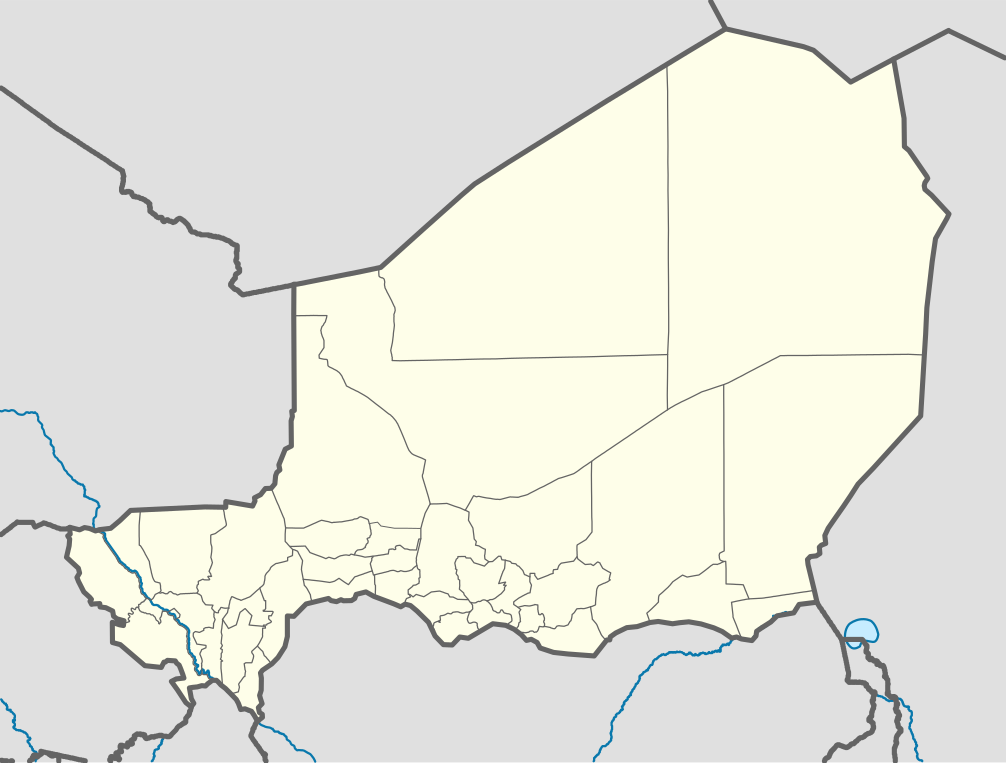
Deutsch: Positionskarte von Niger
Quadratische Plattkarte, N-S-Streckung. Geographische Begrenzung der Karte:
English: Location map of Niger
Equirectangular projection, N/S stretching. Geographic limits of the map:
|
| Date | |
| Soorce |
Ain wirk, using
|
| Author | Carport |
| Other versions |
|
| SVG genesis | This W3C-invalid map was created with Adobe Illustrator. |

Licensin
This file is licensed under the Creative Commons Attribution-Share Alike 2.0 Generic license.
- Ye are free:
- tae share – tae copy, distribute an transmit the wirk
- tae remix – tae adapt the wirk
- Unner the follaein condeetions:
- attribution – Ye must attribute the wirk in the manner specified bi the author or licensor (but nae in ony way that suggests that thay endorse ye or yer uise o the wirk).
- share alik – If ye alter, transform, or big upon this wirk, ye mey distribute the resultin wirk anly unner the same or seemilar license tae this ane.
File history
Clap oan ae date/time fer tae see the file aes it kithed at that time.
| Date/Time | Thummnail | Dimensions | Uiser | Comment | |
|---|---|---|---|---|---|
| current | 09:52, 6 December 2011 | | 1,006 × 762 (101 KB) | NordNordWest | cleanup |
| 13:02, 10 Februar 2010 |  | 1,006 × 762 (435 KB) | Carport | {{Information |Description={{de|1=Positionskarte von {{w|Niger|3=de}} {{w|Quadratische Plattkarte|3=de}}, N-S-Streckung. Geographische Begrenzung der Karte: * N: 24° N * S: 11° N * W: 1° W * O: 17° O}} {{en|1=Location map of {{w|Niger}} Equirectangu |
Eimage airtins
The follaein pages airts tae this image:
Global file uisage
The follaein ither wikis uise this file:
- Uisage on af.wikipedia.org
- Uisage on am.wikipedia.org
- Uisage on an.wikipedia.org
- Uisage on ar.wikipedia.org
- Uisage on ast.wikipedia.org
- Uisage on azb.wikipedia.org
- Uisage on az.wikipedia.org
- Uisage on ba.wikipedia.org
- Uisage on be-tarask.wikipedia.org
- Uisage on be.wikipedia.org
- Uisage on bg.wikipedia.org
- Uisage on bn.wikipedia.org
- Uisage on br.wikipedia.org
- Uisage on bs.wikipedia.org
- Uisage on ca.wikipedia.org
- Uisage on ceb.wikipedia.org
View mair global usage o this file.