
File:Liberia location map.svg

Size of this PNG preview of this SVG file: 594 × 600 pixels. Ither resolutions: 238 × 240 pixels | 475 × 480 pixels | 760 × 768 pixels | 1,014 × 1,024 pixels | 2,028 × 2,048 pixels | 1,000 × 1,010 pixels.
Oreeginal file (SVG file, nominallie 1,000 × 1,010 pixels, file size: 245 KB)
Ootline
| Descreeption |
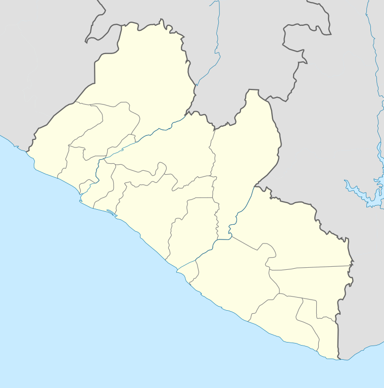
English: Location map of Liberia Equirectangular projection. Strechted by 101.0%. Geographic limits of the map:
|
| Date | |
| Soorce | Ain wirk |
| Author | Uwe Dedering |
Licensin
I, the copyright holder of this work, hereby publish it under the following licenses:
This file is licensed unner the Creative Commons Attribution-Share Alike 3.0 Unported license.
- Ye are free:
- tae share – tae copy, distribute an transmit the wirk
- tae remix – tae adapt the wirk
- Unner the follaein condeetions:
- attribution – Ye must attribute the wirk in the manner specified bi the author or licensor (but nae in ony way that suggests that thay endorse ye or yer uise o the wirk).
- share alik – If ye alter, transform, or big upon this wirk, ye mey distribute the resultin wirk anly unner the same or seemilar license tae this ane.

|
Permission is grantit tae copy, distribute an/or modify this document unner the terms o the GNU Free Documentation License, Version 1.2 or ony later version published bi the Free Software Foundation; wi no Invariant Sections, no Front-Cover Texts, an no Back-Cover Texts. A copy o the license is includit in the section enteetled GNU Free Documentation License. |
Ye mey select the license o yer choice.
File history
Clap oan ae date/time fer tae see the file aes it kithed at that time.
| Date/Time | Thummnail | Dimensions | Uiser | Comment | |
|---|---|---|---|---|---|
| current | 18:15, 19 Februar 2010 | | 1,000 × 1,010 (245 KB) | Uwe Dedering | complete new File |
| 11:45, 6 December 2009 |  | 2,795 × 2,145 (354 KB) | Carport | {{Information |Description={{de|1=Positionskarte von {{w|Liveria|3=de}}.}} {{en|1=Location map of {{w|Liberia}}.}} |Source={{own}}, based on File:Topographic map of Liberia-en.svg by {{w|User:Mysid|Mysid}} |Author={{user:Carport/graphic}} |Date=6 Dec |
Eimage airtins
The follaein pages airts tae this image:
Global file uisage
The follaein ither wikis uise this file:
- Uisage on af.wikipedia.org
- Uisage on am.wikipedia.org
- Uisage on an.wikipedia.org
- Uisage on ar.wikipedia.org
- Uisage on ast.wikipedia.org
- Uisage on azb.wikipedia.org
- Uisage on ba.wikipedia.org
- Uisage on be-tarask.wikipedia.org
- Uisage on be.wikipedia.org
- Uisage on bg.wikipedia.org
- Uisage on bn.wikipedia.org
- Uisage on bs.wikipedia.org
- Uisage on ceb.wikipedia.org
View mair global usage o this file.