
File:Hungary location map.svg

Size of this PNG preview of this SVG file: 800 × 493 pixels. Ither resolutions: 320 × 197 pixels | 640 × 395 pixels | 1,024 × 631 pixels | 1,280 × 789 pixels | 2,560 × 1,578 pixels | 1,210 × 746 pixels.
Oreeginal file (SVG file, nominallie 1,210 × 746 pixels, file size: 246 KB)
Ootline
| Descreeption |
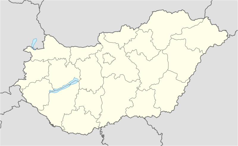
Deutsch: Positionskarte von Ungarn
Quadratische Plattkarte, N-S-Streckung 140 %. Geographische Begrenzung der Karte:
English: Location map of Hungary
Equirectangular projection, N/S stretching 140 %. Geographic limits of the map:
|
| Date | |
| Soorce | own work, using United States National Imagery and Mapping Agency data |
| Author | NordNordWest (tauk · contreebs) |
| Other versions | Derivative works of this file: Hungary location map-2.jpg |

|
This map has been made or improved in the German Kartenwerkstatt (Map Lab). You can propose maps to improve as well.
|
Licensin
I, the copyright holder of this work, hereby publish it under the following licenses:

|
Permission is grantit tae copy, distribute an/or modify this document unner the terms o the GNU Free Documentation License, Version 1.2 or ony later version published bi the Free Software Foundation; wi no Invariant Sections, no Front-Cover Texts, an no Back-Cover Texts. A copy o the license is includit in the section enteetled GNU Free Documentation License. |
This file is licensed unner the Creative Commons Attribution-Share Alike 3.0 Unported license.
- Ye are free:
- tae share – tae copy, distribute an transmit the wirk
- tae remix – tae adapt the wirk
- Unner the follaein condeetions:
- attribution – Ye must attribute the wirk in the manner specified bi the author or licensor (but nae in ony way that suggests that thay endorse ye or yer uise o the wirk).
- share alik – If ye alter, transform, or big upon this wirk, ye mey distribute the resultin wirk anly unner the same or seemilar license tae this ane.
Ye mey select the license o yer choice.
File history
Clap oan ae date/time fer tae see the file aes it kithed at that time.
| Date/Time | Thummnail | Dimensions | Uiser | Comment | |
|---|---|---|---|---|---|
| current | 13:27, 15 November 2008 | | 1,210 × 746 (246 KB) | NordNordWest | corrected |
| 17:30, 5 September 2008 |  | 1,210 × 746 (243 KB) | NordNordWest | frontiers corrected, size correction, file size smaller | |
| 09:53, 5 Julie 2008 |  | 605 × 373 (309 KB) | NordNordWest | {{Information |Description= {{de|Positionskarte von Ungarn}} Quadratische Plattkarte, N-S-Streckung 140 %. Geographische Begrenzung der Karte: * N: 48.8° N * S: 45.5° N * W: 15.7° O * O: 23.2° O {{en|Location map of [[:en:Hungary|Hungar |
Eimage airtins
The follaein pages airts tae this image:
Global file uisage
The follaein ither wikis uise this file:
- Uisage on af.wikipedia.org
- Uisage on als.wikipedia.org
- Uisage on am.wikipedia.org
- Uisage on an.wikipedia.org
- Budapest
- Ecser
- Esztergom
- Buda (Hongría)
- Pest
- Óbuda
- Zichyújfalu
- Basilica de Sant Istevan de Budapest
- Ilesia de Matías de Budapest
- Bastión d'os Pescataires
- Banyos Széchenyi
- Banyos Gellért
- Gran Sinoga de Budapest
- Castiello de Buda
- Puent d'as Cadenas
- Puent Margit
- Parlamento d'Hongría
- Mercau Central de Budapest
- Opera Nacional d'Hongría
- Plantilla:Mapa de localización Hongría
- Sopron
- Győr
- Pécs
- Debrecen
- Szeged
- Miskolc
- Nyíregyháza
- Uisage on ar.wikipedia.org
- Uisage on ast.wikipedia.org
View mair global usage o this file.