
File:Faroe Islands location map.svg

Size of this PNG preview of this SVG file: 465 × 600 pixels. Ither resolutions: 186 × 240 pixels | 372 × 480 pixels | 595 × 768 pixels | 793 × 1,024 pixels | 1,587 × 2,048 pixels | 775 × 1,000 pixels.
Oreeginal file (SVG file, nominallie 775 × 1,000 pixels, file size: 63 KB)
Ootline
| Descreeption |
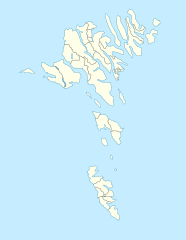
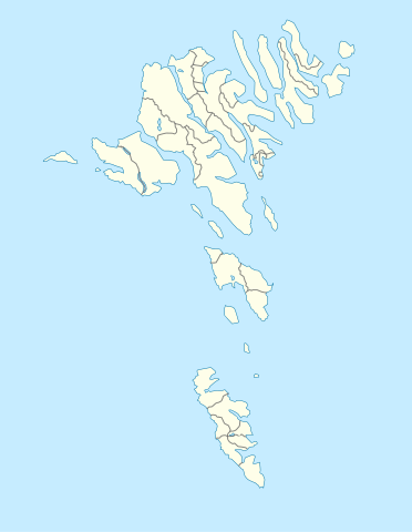
English: Location map of the Faroe Islands
Equirectangular projection, N/S stretching 213 %. Geographic limits of the map:
Deutsch: Positionskarte der Färöer
Quadratische Plattkarte, N-S-Streckung 213 %. Geographische Begrenzung der Karte:
|
| Date | |
| Soorce | Ain wirk |
| Author | Erik Frohne |
| Other versions |
Derivative works of this file: Strandfaraskip route map.svg Municipalities of the faroe islands 2005.png |
| SVG genesis |
Licensin
I, the copyright holder of this work, hereby publish it under the following licenses:

|
Permission is grantit tae copy, distribute an/or modify this document unner the terms o the GNU Free Documentation License, Version 1.2 or ony later version published bi the Free Software Foundation; wi no Invariant Sections, no Front-Cover Texts, an no Back-Cover Texts. A copy o the license is includit in the section enteetled GNU Free Documentation License. |
This file is licensed unner the Creative Commons Attribution-Share Alike 3.0 Unported license.
- Ye are free:
- tae share – tae copy, distribute an transmit the wirk
- tae remix – tae adapt the wirk
- Unner the follaein condeetions:
- attribution – Ye must attribute the wirk in the manner specified bi the author or licensor (but nae in ony way that suggests that thay endorse ye or yer uise o the wirk).
- share alik – If ye alter, transform, or big upon this wirk, ye mey distribute the resultin wirk anly unner the same or seemilar license tae this ane.
Ye mey select the license o yer choice.
File history
Clap oan ae date/time fer tae see the file aes it kithed at that time.
| Date/Time | Thummnail | Dimensions | Uiser | Comment | |
|---|---|---|---|---|---|
| current | 13:27, 20 December 2020 | | 775 × 1,000 (63 KB) | Hanzlan | Húsar merged with Klaksvík |
| 12:58, 29 Apryle 2010 |  | 775 × 1,000 (77 KB) | Erik Frohne | Removal of some borders according to http://www.us.fo/Default.aspx?ID=5497&M=News&PID=6574&NewsID=1842&CATID=29 | |
| 14:46, 7 Mairch 2009 |  | 775 × 1,000 (79 KB) | Erik Frohne | {{Information |Description={{en|1=Location map of the Faroe Islands Equirectangular projection, N/S stretching 213 %. Geographic limits of the map: * N: 62.44° N * S: 61.30° N * W: 7.88° W * E: 6.00° W}} {{de|1=Positionskarte der Färöer Quadra |
Eimage airtins
The follaein pages airts tae this image:
Global file uisage
The follaein ither wikis uise this file:
- Uisage on af.wikipedia.org
- Uisage on an.wikipedia.org
- Uisage on ar.wikipedia.org
- Uisage on ast.wikipedia.org
- Uisage on az.wikipedia.org
- Uisage on ba.wikipedia.org
- Uisage on be-tarask.wikipedia.org
- Uisage on be.wikipedia.org
View mair global usage o this file.