
File:Egypt location map.svg

Size of this PNG preview of this SVG file: 650 × 599 pixels. Ither resolutions: 260 × 240 pixels | 520 × 480 pixels | 833 × 768 pixels | 1,110 × 1,024 pixels | 2,221 × 2,048 pixels | 1,055 × 973 pixels.
Oreeginal file (SVG file, nominallie 1,055 × 973 pixels, file size: 324 KB)

|
The boundaries on this map show the de facto situation. This is just one of several different views on the subject (see COM:NPOV). |
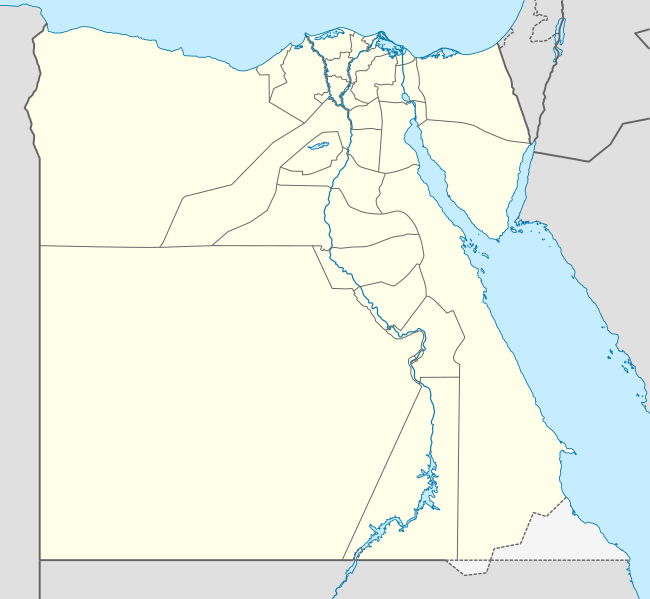
Ootline
| Descreeption |
Deutsch: Positionskarte von Ägypten
Quadratische Plattkarte, N-S-Streckung 111,8685 %. Geographische Begrenzung der Karte:
English: Location map of Egypt
Equirectangular projection, N/S stretching 111.8685 %. Geographic limits of the map:
|
| Date | 10-08-2008 |
| Soorce |
own work, using
|
| Author | NordNordWest |
| Other versions |
Derivative works of this file:
|


|
This map has been made or improved in the German Kartenwerkstatt (Map Lab). You can propose maps to improve as well.
|
Licensin
I, the copyright holder of this work, hereby publish it under the following licenses:

|
Permission is grantit tae copy, distribute an/or modify this document unner the terms o the GNU Free Documentation License, Version 1.2 or ony later version published bi the Free Software Foundation; wi no Invariant Sections, no Front-Cover Texts, an no Back-Cover Texts. A copy o the license is includit in the section enteetled GNU Free Documentation License. |
This file is licensed unner the Creative Commons Attribution-Share Alike 3.0 Unported license.
- Ye are free:
- tae share – tae copy, distribute an transmit the wirk
- tae remix – tae adapt the wirk
- Unner the follaein condeetions:
- attribution – Ye must attribute the wirk in the manner specified bi the author or licensor (but nae in ony way that suggests that thay endorse ye or yer uise o the wirk).
- share alik – If ye alter, transform, or big upon this wirk, ye mey distribute the resultin wirk anly unner the same or seemilar license tae this ane.
Ye mey select the license o yer choice.
File history
Clap oan ae date/time fer tae see the file aes it kithed at that time.
| Date/Time | Thummnail | Dimensions | Uiser | Comment | |
|---|---|---|---|---|---|
| current | 21:35, 12 Februar 2013 | | 1,055 × 973 (324 KB) | NordNordWest | upd |
| 16:03, 17 Apryle 2011 |  | 1,055 × 973 (351 KB) | NordNordWest | upd | |
| 17:03, 7 Mairch 2010 |  | 1,055 × 973 (553 KB) | NordNordWest | resize | |
| 10:48, 3 September 2009 |  | 1,055 × 956 (552 KB) | NordNordWest | ||
| 19:10, 23 Mey 2009 |  | 1,056 × 959 (557 KB) | NordNordWest | corr | |
| 11:12, 10 August 2008 |  | 1,056 × 957 (491 KB) | NordNordWest | {{Information |Description= {{de|Positionskarte von Ägypten}} Quadratische Plattkarte, N-S-Streckung 110 %. Geographische Begrenzung der Karte: * N: 32.1° N * S: 21.3° N * W: 24.2° O * O: 37.3° O {{en|Location map of [[:en:Egypt|Egyp |
Eimage airtins
The follaein pages airts tae this image:
Global file uisage
The follaein ither wikis uise this file:
- Uisage on af.wikipedia.org
- Uisage on als.wikipedia.org
- Uisage on am.wikipedia.org
- Uisage on ar.wikipedia.org
- كأس الأمم الإفريقية 2006
- كأس الأمم الإفريقية 1986
- حمام مصري
- قالب:خريطة مواقع مصر
- كأس العالم تحت 20 سنة لكرة القدم 2009
- سد الكفرة
- كأس الأمم الإفريقية 2019
- الدوري المصري الممتاز 2015–16
- الدوري المصري الممتاز 2016–17
- البطولة العربية لكرة القدم النسائية 2006
- هجوم بئر العبد (أكتوبر 2016)
- كأس العالم تحت 19 سنة لكرة السلة 2017
- البطولة العربية للأندية 2016–17
- الدوري المصري الممتاز 2017–18
- قائمة ملاعب كرة القدم في مصر
- الدوري المصري الممتاز 2018–19
- الدوري المصري الممتاز 2019–20
- تصنيف:مسلسلات تلفزيونية مصرية تقع أحداثها في الصعيد
- مطار البردويل الدولي
- قاعدة الإسماعيلية الجوية
- قاعدة العامرية الجوية
- قاعدة الضبعة الجوية
- قاعدة كبريت الجوية
- جبل سيناء (مكان مقدس)
- الدوري المصري الممتاز 2020–21
- مرسى ثلمت
- كأس العرب لكرة الصالات 2021
- رأس مسلة
- الدوري المصري الممتاز 2021–22
- راس عسران
- راس بكر
- مرسى أم موريكا
- شرم المية
- رأس نصراني
- جزر القلعان
- أرض الهبوط 174
- مطار سيدي حنيش
View mair global usage o this file.