
File:EU-France.svg

Size of this PNG preview of this SVG file: 713 × 600 pixels. Ither resolutions: 285 × 240 pixels | 571 × 480 pixels | 913 × 768 pixels | 1,218 × 1,024 pixels | 2,435 × 2,048 pixels | 2,045 × 1,720 pixels.
Oreeginal file (SVG file, nominallie 2,045 × 1,720 pixels, file size: 7.3 MB)
Ootline
| Descreeption |
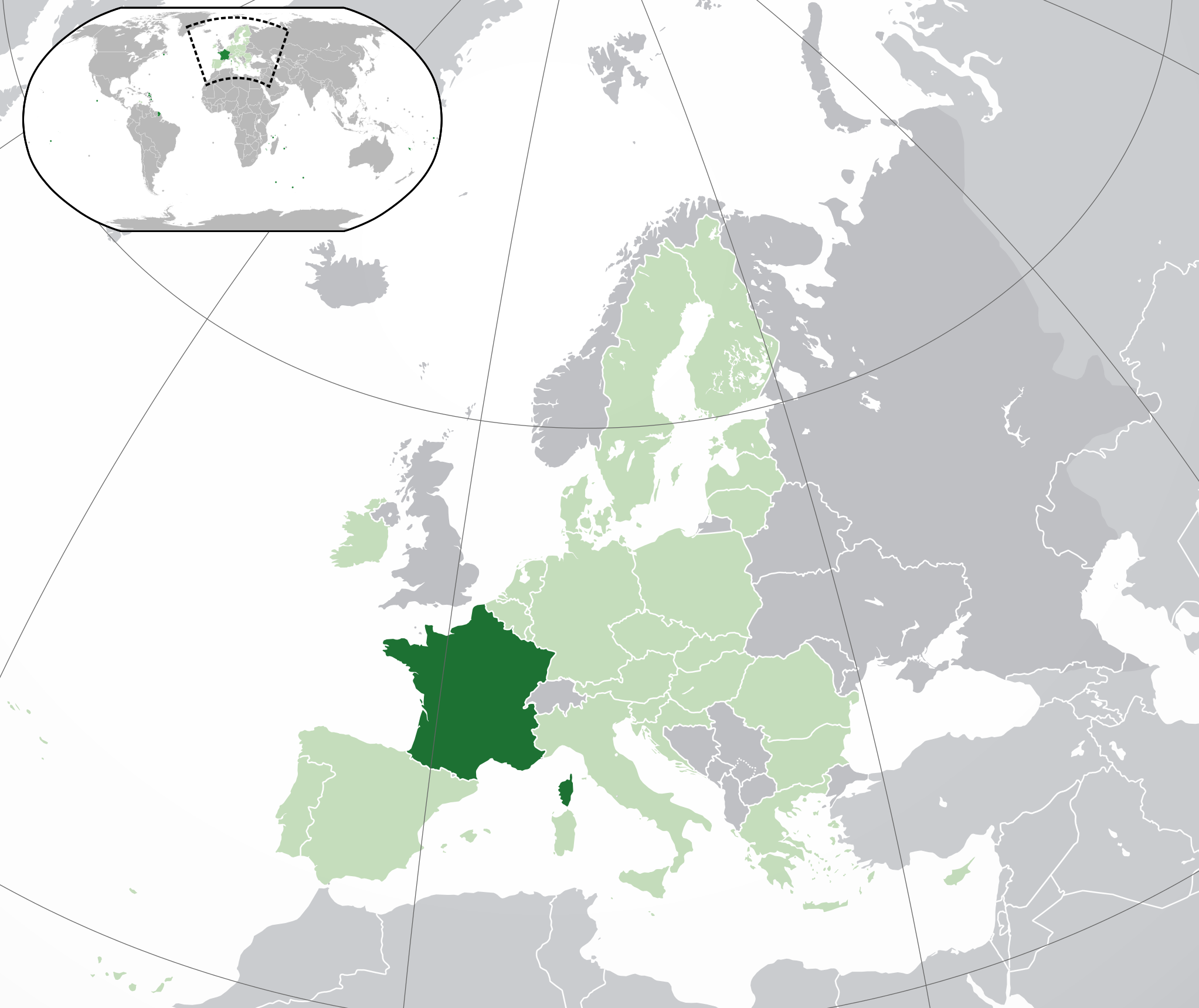
English: (Dark-Green) France. (Light-Green) The rest of the European Union (EU). (Dark-gray) The rest of Europe. (Light-gray) The surrounding region.
See also: |
| SVG genesis | |
| Date | |
| Soorce |
This W3C-unspecified vector image was created with Inkscape . |
| Author | NuclearVacuum |
| Other versions |
Derivative works of this file: France Large South West localisation map.svg |


Licensin
I, the copyright holder of this work, hereby publish it under the following licenses:
This file is licensed unner the Creative Commons Attribution-Share Alike 3.0 Unported license.
- Ye are free:
- tae share – tae copy, distribute an transmit the wirk
- tae remix – tae adapt the wirk
- Unner the follaein condeetions:
- attribution – Ye must attribute the wirk in the manner specified bi the author or licensor (but nae in ony way that suggests that thay endorse ye or yer uise o the wirk).
- share alik – If ye alter, transform, or big upon this wirk, ye mey distribute the resultin wirk anly unner the same or seemilar license tae this ane.

|
Permission is grantit tae copy, distribute an/or modify this document unner the terms o the GNU Free Documentation License, Version 1.2 or ony later version published bi the Free Software Foundation; wi no Invariant Sections, no Front-Cover Texts, an no Back-Cover Texts. A copy o the license is includit in the section enteetled GNU Free Documentation License. |
Ye mey select the license o yer choice.
File history
Clap oan ae date/time fer tae see the file aes it kithed at that time.
| Date/Time | Thummnail | Dimensions | Uiser | Comment | |
|---|---|---|---|---|---|
| current | 16:44, 3 October 2020 | | 2,045 × 1,720 (7.3 MB) | Thom.lanaud | Added Clipperton, Scattered Islands in the Indian Ocean and missing French Southern and Antarctic Lands |
| 15:56, 3 October 2020 |  | 2,045 × 1,720 (7.31 MB) | Pic-Sou | Missing some overseas regions in the small world map. | |
| 02:56, 1 Februar 2020 |  | 2,045 × 1,720 (7.31 MB) | Thom.lanaud | Minus the UK + corrections | |
| 18:17, 25 November 2019 |  | 2,045 × 1,720 (7.32 MB) | Jdx | Reverted to version as of 14:47, 22 July 2018 (UTC) | |
| 22:16, 4 November 2019 |  | 2,045 × 1,720 (7.38 MB) | Kamran.nef | Overseas regions are not included | |
| 22:14, 4 November 2019 |  | 2,045 × 1,720 (2.62 MB) | Kamran.nef | Reverted to version as of 14:07, 21 February 2015 (UTC) | |
| 22:12, 4 November 2019 |  | 2,045 × 1,720 (7.38 MB) | Kamran.nef | Reverted to version as of 21:59, 4 November 2019 (UTC) | |
| 22:05, 4 November 2019 |  | 2,045 × 1,720 (7.32 MB) | Kamran.nef | Reverted to version as of 19:28, 25 October 2016 (UTC) | |
| 22:04, 4 November 2019 |  | 2,045 × 1,720 (7.38 MB) | Kamran.nef | Reverted to version as of 21:59, 4 November 2019 (UTC) | |
| 22:04, 4 November 2019 |  | 2,045 × 1,720 (7.32 MB) | Kamran.nef | Reverted to version as of 14:47, 22 July 2018 (UTC) |
Eimage airtins
The follaein pages airts tae this image:
Global file uisage
The follaein ither wikis uise this file:
- Uisage on ady.wikipedia.org
- Uisage on af.wikipedia.org
- Uisage on als.wikipedia.org
- Uisage on ami.wikipedia.org
- Uisage on an.wikipedia.org
- Uisage on ar.wikipedia.org
- مستخدم:ElWaliElAlaoui/ملعب 8
- معاملة المثليين في فرنسا
- مستخدم:جار الله/قائمة صور مقالات العلاقات الثنائية
- العلاقات الأمريكية الفرنسية
- العلاقات الأنغولية الفرنسية
- العلاقات الفرنسية الكورية الجنوبية
- العلاقات الإريترية الفرنسية
- العلاقات السويسرية الفرنسية
- العلاقات الفرنسية الليختنشتانية
- العلاقات البوليفية الفرنسية
- العلاقات الفرنسية الموزمبيقية
- العلاقات الألبانية الفرنسية
- العلاقات البلجيكية الفرنسية
- العلاقات الإثيوبية الفرنسية
- العلاقات البيلاروسية الفرنسية
- العلاقات الطاجيكستانية الفرنسية
- العلاقات الروسية الفرنسية
- العلاقات الرومانية الفرنسية
- العلاقات الأرجنتينية الفرنسية
- العلاقات الغامبية الفرنسية
- العلاقات الفرنسية القبرصية
- العلاقات السيراليونية الفرنسية
- العلاقات الفرنسية النيبالية
- العلاقات الفرنسية الليبيرية
- العلاقات التشيكية الفرنسية
- العلاقات الفرنسية الميانمارية
- العلاقات الزيمبابوية الفرنسية
- العلاقات الإسرائيلية الفرنسية
- العلاقات البالاوية الفرنسية
- العلاقات الفرنسية المالية
- العلاقات الفرنسية النيجيرية
- العلاقات اليمنية الفرنسية
- العلاقات الفانواتية الفرنسية
- العلاقات الغابونية الفرنسية
- العلاقات البنمية الفرنسية
- العلاقات الفرنسية الكوبية
- العلاقات الجورجية الفرنسية
- العلاقات الفرنسية الكورية الشمالية
- العلاقات الهندية الفرنسية
- العلاقات اليابانية الفرنسية
- العلاقات الفرنسية الناوروية
- العلاقات الأسترالية الفرنسية
- العلاقات الزامبية الفرنسية
- العلاقات الفرنسية الفيجية
- العلاقات المارشالية الفرنسية
View mair global usage o this file.