
File:ES-Mesoamérica.png

Size o this luikower: 800 × 588 pixels. Ither resolutions: 320 × 235 pixels | 640 × 470 pixels | 1,024 × 752 pixels | 1,074 × 789 pixels.
Oreeginal file (1,074 × 789 pixels, file size: 1,002 KB, MIME type: image/png)

|
File:Mesoamerica topographic map-blank.svg is a vector version o this file. It should be uised in place o this raster image when nae inferior. (reason: Vector map & Cozumel included)
File:ES-Mesoamérica.png → File:Mesoamerica topographic map-blank.svg
For mair information, see Help:SVG. |
 |
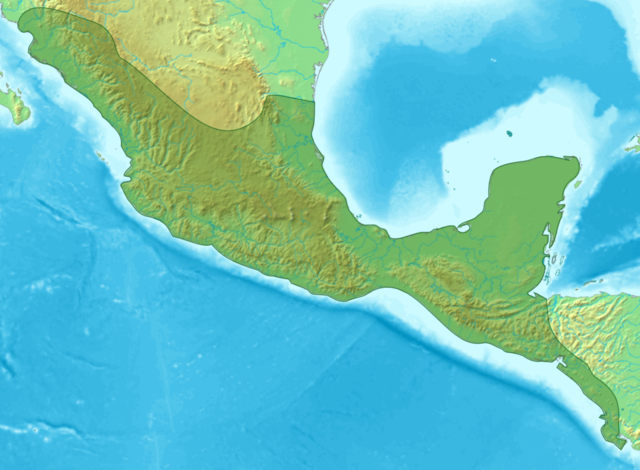
| Descreeption | Map of Meso-america |
| Date | (UTC) |
| Soorce | |
| Author |
|
| Other versions | Derivative works of this file: Ubicación Quelepa.png |
| This is a retouched picture, which means that it has been digitally altered from its original version. Modifications: Sin subdivisiones. The original can be viewed here: Mesoamérica.png:
|

|
Permission is grantit tae copy, distribute an/or modify this document unner the terms o the GNU Free Documentation License, Version 1.2 or ony later version published bi the Free Software Foundation; wi no Invariant Sections, no Front-Cover Texts, an no Back-Cover Texts. A copy o the license is includit in the section enteetled GNU Free Documentation License. |
| This file is licensed unner the Creative Commons Attribution-Share Alike 3.0 Unported license. | ||
| ||
| This licensing tag was added to this file as part of the GFDL licensing update. |
Original upload log
This image is a derivative work of the following images:
- File:Mesoamérica.png licensed with GFDL
- 2007-02-15T02:17:04Z Juan Miguel 1074x789 (1223954 Bytes) == Sumario == {{es|Mapa de las áreas culturales de Mesoamérica}} Mapa en el que se indican las áreas culturales de Mesoamérica. Fue elaborado por [[User:Yavidaxiu|Yavidaxiu]] a partir de los mapas Imagen:Topographic30deg
- 2006-04-04T04:43:00Z Yavidaxiu 1074x789 (1223954 Bytes) Mapa en el que se indican las áreas culturales de Mesoamérica. Fue elaborado por [[User:Yavidaxiu|Yavidaxiu]] a partir de los mapas Imagen:Topographic30deg N0W90.png y Imagen:Topographic30deg N0W60.png, que obran en el arch
Uploaded with derivativeFX
File history
Clap oan ae date/time fer tae see the file aes it kithed at that time.
| Date/Time | Thummnail | Dimensions | Uiser | Comment | |
|---|---|---|---|---|---|
| current | 22:03, 13 Mairch 2009 | | 1,074 × 789 (1,002 KB) | DavoO | {{Information |Description=Map of Meso-america |Source=*File:Mesoamérica.png |Date=2009-03-13 22:00 (UTC) |Author=*File:Mesoamérica.png: '''Yavidaxiu''' *derivative work: ~~~ |Permission=see below |other_versions= }} {{RetouchedPicture|Sin |
Eimage airtins
The'r nae pages airts tae this eimage.
Global file uisage
The follaein ither wikis uise this file:
- Uisage on es.wikipedia.org
- Uisage on fi.wikibooks.org
- Uisage on hi.wikipedia.org
- Uisage on id.wikipedia.org
- Uisage on ko.wikipedia.org
- Uisage on ml.wikipedia.org
- Uisage on my.wikipedia.org
- Uisage on simple.wikipedia.org
- Uisage on ta.wikipedia.org
- Uisage on th.wikipedia.org
- Uisage on tl.wikipedia.org
- Uisage on tr.wikipedia.org
- Uisage on uk.wikipedia.org
- Uisage on vi.wikipedia.org
View mair global usage o this file.