
File:Algeria location map.svg

Size of this PNG preview of this SVG file: 604 × 600 pixels. Ither resolutions: 242 × 240 pixels | 483 × 480 pixels | 773 × 768 pixels | 1,031 × 1,024 pixels | 2,062 × 2,048 pixels | 1,287 × 1,278 pixels.
Oreeginal file (SVG file, nominallie 1,287 × 1,278 pixels, file size: 281 KB)
Ootline
| Camera location | | View this and other nearby images on: OpenStreetMap |
|---|
| Descreeption |
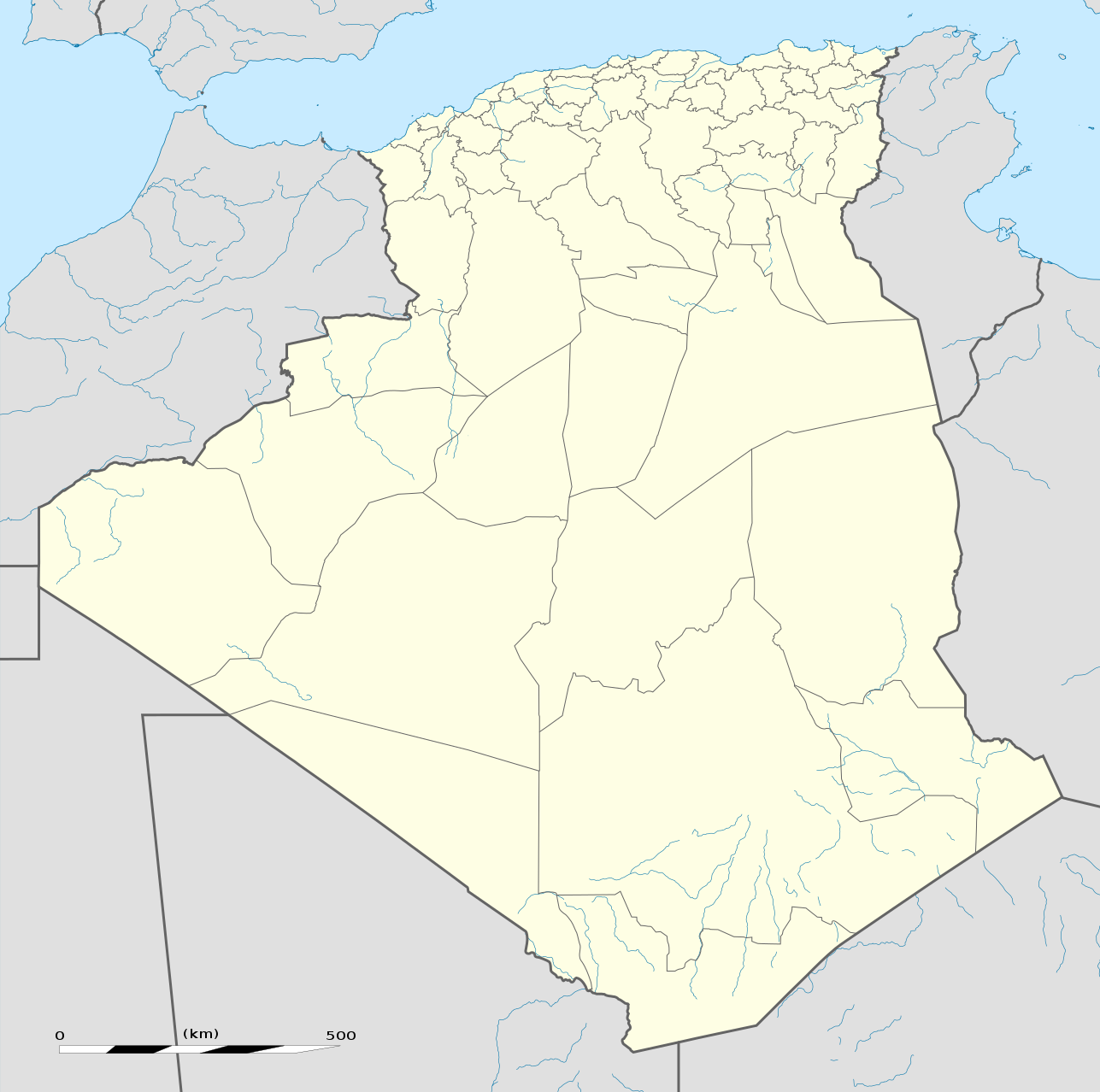
العربية: خريطة إدارية فارغة للجزائر، لأغراض موقع-جيو.
English: Blank administrative map of Algeria, for geo-location purposes.
Français : Carte administrative vierge de l'Algérie, destinée à la géolocalisation. Scale: 1:6,800,000 (precision: 1,700 m)
Geographic limits of the map:
|
||
| Date | |||
| Soorce |
Ain wirk
|
||
| Author | Eric Gaba (Sting - fr:Sting) | ||
| Permission (Reuisin this file) |
|
||
| Other versions |
Derivative works of this file: French Algeria evolution 1830-1962 map-fr.svg
|


Licensin
I, the copyright holder of this work, hereby publish it under the following licenses:
This file is licensed unner the Creative Commons Attribution-Share Alike 3.0 Unported license.
- Ye are free:
- tae share – tae copy, distribute an transmit the wirk
- tae remix – tae adapt the wirk
- Unner the follaein condeetions:
- attribution – Ye must attribute the wirk in the manner specified bi the author or licensor (but nae in ony way that suggests that thay endorse ye or yer uise o the wirk).
- share alik – If ye alter, transform, or big upon this wirk, ye mey distribute the resultin wirk anly unner the same or seemilar license tae this ane.

|
Permission is grantit tae copy, distribute an/or modify this document unner the terms o the GNU Free Documentation License, Version 1.2 or ony later version published bi the Free Software Foundation; wi no Invariant Sections, no Front-Cover Texts, an no Back-Cover Texts. A copy o the license is includit in the section enteetled GNU Free Documentation License. |
Ye mey select the license o yer choice.
File history
Clap oan ae date/time fer tae see the file aes it kithed at that time.
| Date/Time | Thummnail | Dimensions | Uiser | Comment | |
|---|---|---|---|---|---|
| current | 19:01, 16 Mairch 2020 | | 1,287 × 1,278 (281 KB) | NordNordWest | upd 2019 |
| 12:51, 17 November 2009 |  | 1,287 × 1,278 (364 KB) | Sting | == {{int:filedesc}} == {{Location|28|19|00|N|1|39|00|E|scale:8000000}} <br/> {{Information |Description={{en|Blank administrative map of Algeria, for geo-location purposes.}} {{fr|Carte administrative vierge de l'Algérie, |
Eimage airtins
The follaein pages airts tae this image:
Global file uisage
The follaein ither wikis uise this file:
- Uisage on ab.wikipedia.org
- Uisage on af.wikipedia.org
- Uisage on als.wikipedia.org
- Uisage on am.wikipedia.org
- Uisage on an.wikipedia.org
- Uisage on ar.wikipedia.org
- أولاد تبان
- العلمة (ولاية سطيف)
- كأس الأمم الإفريقية 1990
- صالح باي (ولاية سطيف)
- قالب:خريطة مواقع الجزائر
- عين آزال
- بوقاعة
- قنزات
- مطار الشلف - أبو بكر بلقايد
- الحامة (ولاية سطيف)
- تالة ايفاسن
- بابور (سطيف)
- زلزال الشلف 1980
- تيزي نبشار
- قالب:خارطة جبال الجزائر
- قالب:خريطة مدن الجزائر
- ماوكلان
- بوطالب
- سيدي حمادوش
- قالب:ص.م/موقع جغرافي
- قالب:ص.م/موقع جغرافي/شرح
- بطولة إفريقيا تحت 20 سنة لكرة القدم 2013
- حمام قرقور
- مستخدم:عبد المؤمن/ملعب
- عين السبت
- بوعنداس
- بني فودة
- بني حسين (ولاية سطيف)
- ذراع قبيلة
- الأوريسية
- قلال
- معاوية (ولاية سطيف)
View mair global usage o this file.